

























































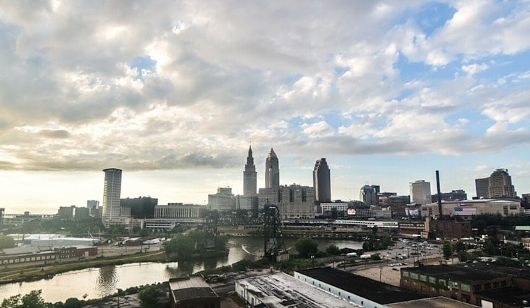
Cleveland starts Wednesday with mostly clear skies and temperatures around 70 degrees, but the calm will not last all day. Scattered showers and thunderstorms are possible from the morning through midafternoon, with a high near 78 and west winds reaching 13 mph.
Showers Arrive Before Wednesday Night Rain
Most of Wednesday’s rain should be light, with less than a tenth of an inch expected in the city. The chance of showers and storms rises again after 9 p.m., when a 30% rain chance and a low near 64 are in the forecast, according to the National Weather Service Cleveland office.
Heavier rain and localized flooding are possible in the southern half of the region, particularly south of US-30, where soils are already saturated. The forecast remains uncertain on how far north the heaviest rain will reach, and no watches, warnings or advisories are currently posted.
Thursday Showers Give Way To A Sunny Friday
Thursday may begin with a few rain showers before skies turn partly sunny, with another high near 78. Thursday night should be mostly clear and cooler, dropping to about 61, followed by a sunny Friday with a high near 80.
Stormier Weekend Takes Shape
Saturday is the bigger outdoor-planning concern, with showers possible in the morning before thunderstorms become likely during the afternoon and evening. The rain chance reaches 70%, and the National Weather Service says an isolated severe-weather threat may develop, although the exact timing and location remain unclear.
Sunday stays unsettled with a 30% chance of showers and thunderstorms and a high near 75. Monday looks like the week’s cleanest reset, with mostly sunny skies, a high around 75 and only a small chance of rain.





.jpg)