

























































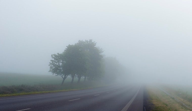
Philadelphia woke Tuesday to light rain, thick humidity and temperatures around 75 degrees. The soggy start should fade into patchy fog and clouds before the city turns partly sunny, with a high near 89.
Fog is expected to linger before 9 a.m., followed by a warmer and somewhat more comfortable afternoon as a weak cold front slips south. An isolated shower or thunderstorm could develop after lunchtime, particularly south and southeast of I-95, but the chance of rain is only 20% and no significant severe weather is expected, according to the National Weather Service.
Wednesday Brings Sunshine Before The Pattern Turns Stormy
Wednesday looks like the easiest outdoor day of the week, with sunny skies, lighter winds and a high near 90. Overnight temperatures should settle around 72 degrees, with only some passing clouds.
Showers and thunderstorms become much more likely Thursday. Rain could arrive during the morning before storms become more likely in the afternoon and evening, with an 80% chance of precipitation and rainfall totals generally between a tenth and a quarter of an inch.
Weekend Plans May Need A Weather Backup
The unsettled pattern is expected to continue through the weekend, with daily chances for showers and thunderstorms. Friday brings a high near 85 with a 30% rain chance, Saturday drops to about 83 degrees with a 50% chance of showers, and Sunday reaches roughly 85 with another chance of afternoon rain and storms.
There are currently no watches, warnings or advisories posted for the Philadelphia area. Monday is projected to turn sunny again, with a high near 84, offering a cleaner finish after several days of on-and-off storm chances.



.jpg)