

























































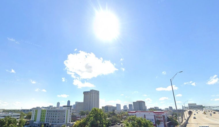
Jacksonville is starting Saturday near 77°F under mostly sunny skies, but the easy morning setup is expected to give way to a hot afternoon and potentially strong thunderstorms. Highs should reach 93°F, with the heat index climbing as high as 105°F before storms become possible after 1 p.m.
The National Weather Service Jacksonville office puts the rain chance around 30%, with showers and thunderstorms most likely from the afternoon into early evening. Most storms should be isolated to widely scattered, but stronger cells could bring frequent lightning, localized flooding and wind gusts of 40 to 60 mph, according to the National Weather Service.
Storms Wait Until Afternoon
Saturday morning should stay mostly dry, with southwest winds running 6 to 10 mph and occasional gusts near 16 mph. The storm risk increases after 1 p.m. and may linger into the evening, so outdoor plans have a better shot early in the day.
There are no watches or warnings posted for the local area in the provided forecast, but lightning and sudden downpours can still turn a routine afternoon into a messy one. Anyone caught outside should move indoors when thunder is heard, while drivers should be ready for sharply reduced visibility in heavier rain.
Hotter Sunday And Monday
Sunday looks mostly sunny and hotter, with a high near 94°F, a heat index around 103°F and an overnight low near 76°F. Monday could push closer to 95°F, with another chance of afternoon thunderstorms after 2 p.m.
That is a modest shift from last week’s more punishing stretch, when Hoodline reported a heat index near 110°F and a heat advisory. Jacksonville’s weekend forecast carries no local heat advisory, but the combination of high temperatures and humidity still calls for water, shade and breaks from strenuous activity.
Storm Chances Rise Midweek
The unsettled pattern returns in a bigger way Tuesday and Wednesday, when daily storm chances rise to about 50%. Thursday and Friday stay mostly hot, with highs near 93°F and afternoon thunderstorm chances between 40% and 50%.
Beach conditions should remain relatively manageable this weekend, with surf around 1 to 2 feet or less and a low to low-end moderate rip-current risk. Afternoon sea breezes will shift winds toward the coast, but anyone who sees lightning should leave the water immediately.





