

























































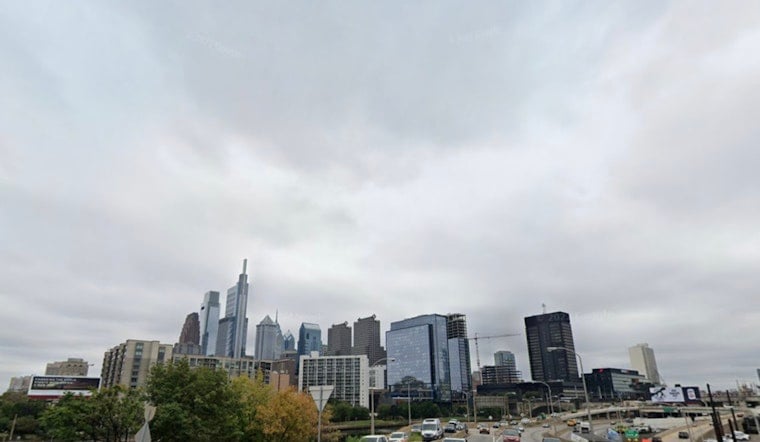
Philadelphia is waking up cloudy Sunday with temperatures in the upper 60s, and a few showers or thunderstorms could rumble through the city this morning. The weather turns noticeably friendlier by afternoon, with partial sunshine, a high near 83 degrees and a drier breeze arriving behind a cold front.
Morning Storms Give Way To A Brighter Afternoon
The best chance for rain comes before 10 a.m., when scattered showers and thunderstorms could bring brief heavy rain, lightning and locally gusty winds. The National Weather Service says organized severe weather is unlikely, though an isolated stronger storm cannot be ruled out early in the day.
By late morning and afternoon, skies should break up as temperatures climb into the low 80s. Southwest winds will turn west at 5 to 10 mph, helping push out some of the sticky air and making Sunday afternoon a much better bet for errands, parks and outdoor plans.
Clearer, Cooler Nights Ahead
Sunday night looks mostly clear, with temperatures dropping to around 64 degrees and west winds continuing at 5 to 10 mph. Monday and Tuesday bring sunny skies with highs near 81 and 82, while Wednesday warms to about 86 degrees under mostly sunny conditions.
That is a significant change from an earlier outlook that had highlighted a broader storm threat Sunday into Monday. The latest forecast instead keeps Philadelphia mostly dry through Wednesday, as reflected in Hoodline's earlier forecast.
Storm Chances Return Late In The Week
Thursday brings another chance of showers and thunderstorms, with a high near 86 degrees and a 50% chance of precipitation. Friday remains warm near 87 with scattered showers or storms possible, while Saturday looks mostly sunny with only a slight chance of rain after 2 p.m.



