

























































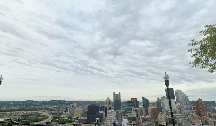
Pittsburgh is waking up to clear skies and cool temperatures Sunday, but the afternoon should bring a comfortable high near 71 degrees. The day looks mostly sunny and dry, with a northwest breeze adding a distinctly early-fall feel without making outdoor plans miserable.
The National Weather Service expects clouds to gradually increase late in the day. A few light showers could brush areas east and northeast of Pittsburgh Sunday evening, but rain chances remain very low across the city.
A Cloudier Start To Monday
Sunday night will turn mostly cloudy, with temperatures falling to around 58 degrees. Precipitation is possible Monday.
Fog becomes more likely Monday night after 10 p.m. and could linger into Tuesday morning. Once it lifts, Tuesday should turn partly sunny with a high near 74, giving the city a brief reset before the week warms up.
Warmth Builds Midweek
Wednesday looks like a bright stretch of the week so far, with areas of morning fog giving way to partly sunny skies and a high near 77 degrees. Thursday will be the warmest day of the week, with widespread highs in the 70s.
Rain Chances Return Late Week
Showers become more likely Friday, when Pittsburgh could see a 40% chance of rain and thunderstorms with a high near 71 degrees. Saturday brings highs in the lower to middle 70s, with possible scattered showers.
The outlook is a modest update to Hoodline's earlier Pittsburgh forecast: the weekend still looks largely cooperative, but clouds, fog and late-week rain now have clearer places on the calendar. No watches, warnings or advisories are listed for the area.



