Houston residents can expect a break from the chill as the weather takes a slight turn towards mild today, with forecasts predicting mostly sunny skies and highs potentially creeping up near that sweet 70-degree mark. However, this brief respite is set to give way to a week of cooler temperatures and cloudier skies, according to a report from the National Weather Service.
The Houston Chronicle notes an atmospheric high that slipped east of Houston is behind the milder temperatures, with southeasterly winds bringing in morning lows above freezing and setting the stage for a daytime high that's going to hover in the upper 60s—a stark contrast to the frosty reception at Bush Intercontinental Airport that hit 33 degrees just the morning before. "Mostly sunny skies with continued southeasterly winds will set the stage for afternoon temperatures to reach into the upper 60s in most of Southeast Texas on Tuesday," reported the Chronicle, before clouds are expected to push their way over Houston starting Wednesday.
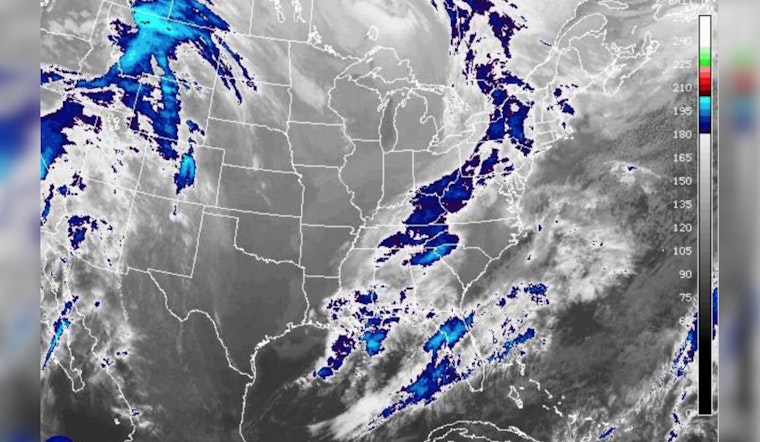
Wednesday will see a shift with more cloud cover and easterly winds contributing to cooler afternoons, says the National Weather Service. They're eyeing the clouds as they foretell an environment rife for isolated convection, bringing showers by the end of the work week and throwing a potential wrench into anyone's outdoor plans.
As Texas braces itself for showers and possible thunderstorms, the Storm Prediction Center adds a silver lining: no severe thunderstorm areas are forecasted. "Isolated non-severe thunderstorms will be possible this afternoon and evening across parts of west Texas and southeast New Mexico," reports the Storm Prediction Center, allowing for a bit of relief amidst the anticipation of grayer days.


