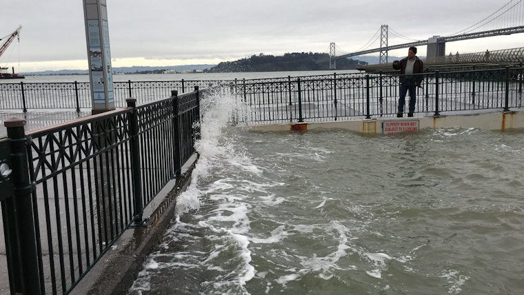
Battered by heavy rains and winds, parts of the Bay Area are now grappling with the after-effects of a squall that has led to nuisance flooding, saturated soils, and heightened concerns over potential landslides. The National Weather Service's flood advisory, initially set to expire early this morning, has been extended to 7:30 AM PST for coastal areas, as found in a warning on NWS Bay Area's X post. "A Flood Watch remains in effect for the North Bay through this evening," from the National Weather Service San Francisco CA was evidenced on their website.
Flood Advisory Now in Effect until 730 AM PST This Morning. #CAwx pic.twitter.com/nv9vMzRbzU
— NWS Bay Area 🌉 (@NWSBayArea) January 22, 2024
The recent storm has deposited noteworthy rain tallies in less than a day, with Sonoma County Airport logged 2.44 inches, Venado 3.98 inches, and Middle Peak RAWS at Mount Tam just under an inch shy of four; the city of San Francisco itself observed lower numbers, with downtown tapping in at 0.92 inches, but the cumulative effect across the region has been considerable, prompting the flood advisory and a Wind Advisory that remained until early this morning in certain areas. Urban areas have borne the brunt of the impact, with "numerous reports of urban nuisance floods, small streams rising, and small landslides," particularly in the North Bay as extended to the mountains of Santa Cruz County, according to the National Weather Service.
Today, the National Weather Service forecast anticipates waning shower activity, though warning of persistent flood impacts throughout the day, especially in places where stray post-frontal showers might occur. Highs are forecasted around the upper 50s to lower 60s across the lower terrains and a tad chillier in the elevated areas where the digits might only just brush the forties. Localities should brace for fog patches rolling in tonight, with lows expected to hover in the mid to upper 40s.
Looking ahead, the NWS forecast suggests a brief dry period before the coming Tuesday wets the region again with yet another front, albeit with "relatively modest" rain totals before giving way to dry and mild weather later in the week conditions that may raise temperatures to the pleasant lull of the upper 60s to lower 70s in the interior valleys, by the weekend that is forecasted to settle into low to mid 60s along coastal and elevated zones. The Marine report issued by the NWS promises a switch in winds to the northwest and a new western swell rising late tonight into Tuesday. At the same time, the Hydrology statement echoes the lingering threat of floods and landslides, advising caution.


