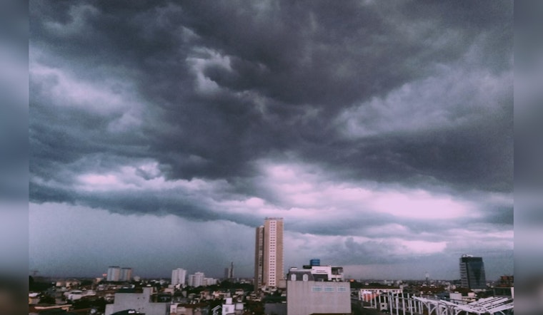
Houston is set to end its rainy week on a wet note with scattered showers and possible thunderstorms creeping in from the coast, per the National Weather Service. Today, isolated showers may dampen the city before 1 p.m., followed by thunderstorm threats in the afternoon, and the clouds are here to stay, with a murky high of 64 degrees and a gentle easterly breeze. As the evening settles, the chance of rain lingers, turning to scattered thunderstorms before midnight, set against a backdrop of a mostly cloudy sky with temperatures dipping near 56.
The rain is not expected to aggravate existing floods too much, a brief reprieve after a deluge overwhelmed the region earlier this week and led to a disaster declaration in Montgomery County—the calming before the storm, “additional rain will have little impact (on flooding). However the water is still being routed along the tributaries and rivers from the rain that has fallen. So flood issues will continue in general,” Dan Reilly, a National Weather Service meteorologist in charge of the Houston area, told the Houston Chronicle. Patchy fog might plague early commuters, especially in the north and west, but skies will gradually clear throughout the weekend.
There's an extra layer of tension as the weekend nears; the Storm Prediction Center warns of a "slight risk" of severe thunderstorms creeping into neighboring states like Alabama and the western Florida Panhandle from Saturday morning through the evening—with the possibility of tornadoes and winds whipping up chaos.
But once the storms scatter, this Sunday, forecasts expect sunny bringing cool, northerly winds and a modest high near 59 degrees, the National Weather Service predicts. The night will cool further to a clear low around 39, while Monday promises more sunlight and a mild high of 62.


