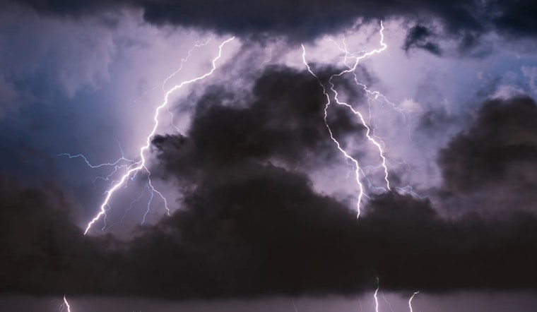
Houston residents brace yourselves: a significant weather event is on the horizon with increasing chances of severe thunderstorms hitting the area, causing possible disruption and danger. According to the Houston Chronicle, Monday could see a mix of heavy downpours and severe storms, including the threat of large hail and isolated tornadoes.
The incoming low pressure system, moving east from the Pacific, is colliding with Gulf moisture to create the perfect storm over Southeast Texas. The calm before the storm will have Houstonians experiencing a cool, but quiet Sunday. But by early Monday morning, experts warn of increasing wind speeds that would be to drawing significant moisture from the Gulf into Houston's atmosphere, setting the stage for turbulent afternoon conditions.
The National Weather Service forecasts a tempestuous Monday with an 80% chance of showers and thunderstorms post noon, and gusty winds that could reach 40 mph. It will be a day of contrasts as the temperature high is expected near 71 degrees before dropping to a low around 44 degrees at night.
The Storm Prediction Center has also raised red flags for the region. "There is a slight risk of severe thunderstorms Monday into Monday night," the SPC report states, affecting southeastern Texas through to the western Florida Panhandle. Forecast discussions highlight the potential for "damaging wind gusts and tornadoes" late into the evening on Monday.
The aftermath promises to be equally turbulent, albeit less wet. In the wake of the storms, Houstonians will be left grappling with strong winds on Tuesday, with sustained speeds between 20-30 mph and gusts approaching 40 mph, per the Chronicle. The cold front will see temperatures plunge with highs only in the low 50s, despite clear skies.


