Bracing for more frequent devastating hurricanes, scientists at MIT have developed a new forecasting tool that lays bare the increasing flood risks to coastal cities as the planet heats up. As reported by MIT News, the advanced methodology marries physics-based risk assessment with climate projections to nail down just how bad flooding from future storms might get.
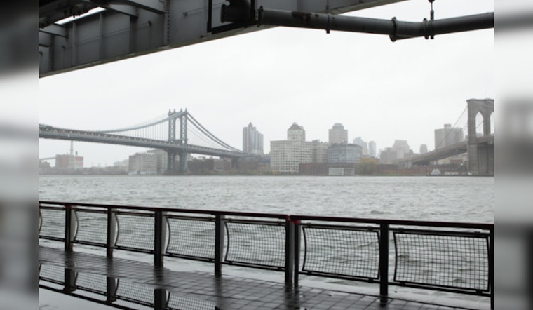
The method takes into account the complex interactions between storm surges unleashed by hurricanes and torrential rains that swell inland waters. These combined forces, the study's authors warn, could lead to catastrophic floods on the scale of Hurricane Sandy. Then in 2012, Sandy's one-two punch of ocean surge and rain inundation wreaked havoc in New York and New Jersey. According to the study, a Sandy-level event is predicted to hammer New York City once every 150 years, under today's climate, but with a warmer future, this could spike to every 30 years by century's end.
"Long-term average damages from weather hazards are usually dominated by the rare, intense events like Hurricane Sandy," said study co-author Kerry Emanuel, professor emeritus of atmospheric science at MIT, in a statement obtained by MIT News. He emphasizes the importance of accurately predicting such extreme occurrences.
The team's methodology is not just a theoretical exercise—by simulating tens of thousands of hurricane "seeds," they apply coupled ocean and atmospheric models over time to capture changes in hurricanes' behavior under varying climate conditions. With this, they delivered a grim projection: by the midcentury, New York could see its risk of compound flooding from major storms leap, from a storm like Sandy occurring every 60 years, to a sobering once in every 30 years by the end of the century. Here, the villain isn't just the storms increasing ferocity but the expected surge in sea levels.
"In future decades, we will experience sea level rise in coastal areas, and we also incorporated that effect into our models to see how much that would increase the risk of compound flooding," Ali Sarhadi, a postdoc in MIT’s Department of Earth, Atmospheric and Planetary Sciences, told MIT News. A larger concern is the expected 25 percent rise in coastal populations by 2050, contributing to a higher risk of exposure to these weather events, coupled with the trillions of dollars worth of assets in flood-prone areas.
By leveraging such a tool, urban planners and policymakers gain an invaluable ally in the fight against climate change's wrath. The availability of granular risk assessments for coastal cities enables precise, proactive strategies for strengthening infrastructure against the looming specter of natural disasters propelled by global warming.


