Minneapolis residents are in for a turbulent week, weather-wise, with the National Weather Service issuing a Hazardous Weather Outlook for central and southern Minnesota, as well as west central Wisconsin. Amid persisting concerns of river levels rising to moderate or major flood stages, there's a forecast of additional storms that could exacerbate conditions. According to the forecast, today's sunshine with a high near 77 will be the calm before the storm, as starting Thursday night, shower and thunderstorm chances ramp up significantly.
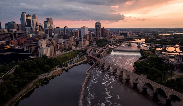
For those in the immediate vicinity of rivers, the situation is particularly dire. The weather service warns that the South Fork Crow River at Delano is already experiencing major flooding. "Sanitary sewers may need plugging at this stage to prevent water from backing up into homes," the forecast notes. Details from the National Weather Service Twin Cities/Chanhassen MN indicate that the region isn't just battling the current deluge but is also bracing for more rainfall and potential thunderstorms that threaten to make the situation worse.
The outlook through Tuesday calls for additional periods of active weather, with potential severe weather events and localized flash flooding. While SKYWARN spotter activation isn't needed just yet, residents are encouraged to stay alert and abreast with the latest weather updates. The forecast for Friday echoes this concern, signifying a 60 percent chance of showers and possibly severe thunderstorms, accompanied by new rainfall amounts that could aggravate current flooding.
As rivers like the Minnesota River at Savage climb to hazardous levels—the forecast warns of "major flooding is forecast"—the city prepares for repercussions such as Highway 101 and Interstate 35W being impacted by the rising waters. "Flood waters begin flooding the east bound lane of Highway 101 near the intersection with Highway 13. Flood waters also impact the north bound lanes of Interstate 35W," states the forecast. Residents in areas prone to flooding are urged to take necessary action to protect property and heed evacuation orders where applicable. Now is a time for communal vigilance, as the interaction of natural forces and human infrastructure lays bare the vulnerabilities ingrained within the places we call home.


