Houston residents can expect a typical hot and hazy summer day, with the National Weather Service forecasting a 20 percent chance of showers and thunderstorms after 1 pm, in stark contrast to the morning's slight chance of showers before noon; the widespread haze setting in after 4 pm will persist into the night, adding a layer of sultriness to the already high temperatures that could reach a peak near 93 degrees and heat index values soaring as high as 106, according to the forecast available on the National Weather Service's website.
Tonight, the haze will thicken, and the day's heat will settle on the streets as the city's pulse cools to a low of around 78 degrees. A gentle south wind of 5 to 10 mph will accompany this change. The National Weather Service forecasts that Houstonians can expect similar conditions over the next few days, with mostly sunny skies and temperatures remaining in the low to mid-90s. Overnight lows will stay in the upper 70s, with haze continuing to be a constant presence.
The NWS Storm Prediction Center in Norman, OK has also indicated a slight risk of severe thunderstorms stretching from the Central Plains into sections of the Mississippi, Ohio, and Tennessee Valleys, while also nodding toward potential storms across the Northern Plains; Houston, spared the severity, rests under the deep southern heat, buffered from the tempests roiling to the north as detailed in the discussion found at the Storm Prediction Center's site.
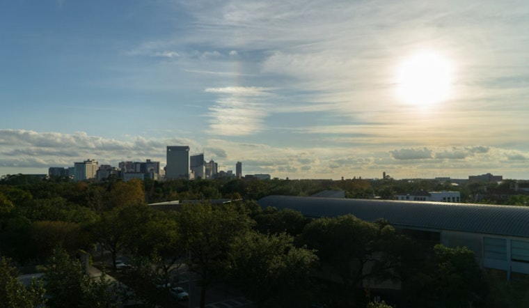
This forecast comes amidst the backdrop of Saharan dust that sweeps across Southeast Texas, shrouding the city with the same haze that inhibits the bountiful sun, slightly dampening its heat, as mentioned in an update from NWS Houston.
It'll be hot and humid across SE Texas today with isolated storms possible, especially during the afternoon. Saharan dust will bring hazy conditions across the region. #TXwx #HOUwx #Houston pic.twitter.com/fiT2VE4Ots
— NWS Houston (@NWSHouston) July 30, 2024


