Residents in Houston can expect a mixture of thunderstorms and high humidity levels over the next several days, as detailed forecasts predict a range of weather conditions for the region. According to the National Weather Service, "Showers and thunderstorms likely, mainly between 10am and 1pm. Mostly cloudy, with a high near 88. Calm wind becoming southeast around 5 mph in the afternoon. Chance of precipitation is 60%. New rainfall amounts between a tenth and quarter of an inch, except higher amounts possible in thunderstorms."
Conditions will pivot slightly towards the evening, offering "Isolated showers and thunderstorms after 4am. Mostly cloudy, with a low around 77. Southeast wind around 5 mph becoming calm in the evening. Chance of precipitation is 20%." As the weekend kicks in, the wet weather is said not to take a break, with the National Weather Service outlining that showers and thunderstorms are likely mainly between 1 pm and 4 pm on Saturday, and a 20 percent chance of showers and thunderstorms following on Sunday afternoon.
The wider outlook for the region, according to the Storm Prediction Center, also indicates an active weekend. "Multiple clusters of strong to severe thunderstorms are possible across portions of the Northern Plains into the Upper Mississippi Valley on Saturday" the Center reported. Despite the distance, Gulf Coast residents should remain aware of these weather patterns as they can indicate a broader atmospheric instability that might influence Houston weather.
As Houstonians prepare for the week ahead, nighttime temperatures are anticipated to remain consistent, generally staying in the upper 70s. Meanwhile, daytime highs are projected to escalate into the low 90s, with mostly sunny skies starting Monday, according to the local forecast obtained by the National Weather Service.
The return of scattered storms is expected to be hovering with a 30 percent chance of showers and thunderstorms midweek, maintaining the trend of potential rain interruptions characteristic of Houston's summer climate. Scattered storms return to the forecast today, being the greatest rain chances along and south of the I-10 corridor, as reported by NWS Houston.
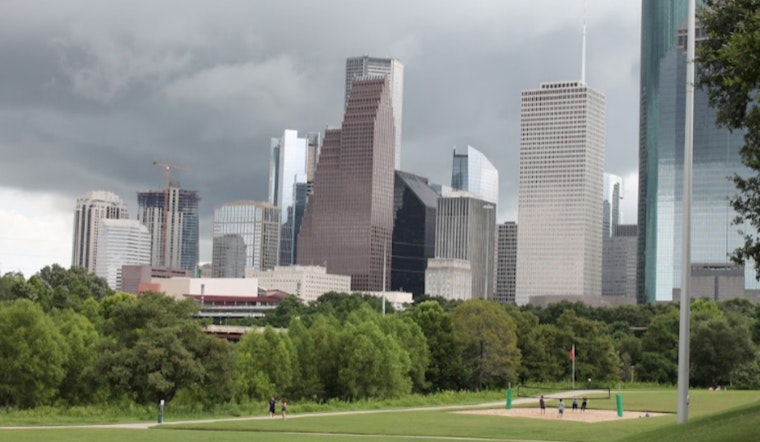
Scattered storms return to the forecast today, with the greatest rain chances along and south of the I-10 corridor. Look for highs near 90, and overnight lows in the upper 70s to near 80. #houwx #txwx pic.twitter.com/FyHkN66D64
— NWS Houston (@NWSHouston) July 12, 2024


