As Houston braces for the approaching Beryl, the National Weather Service (NWS) has issued forecasts detailing the potential impacts—including wind, storm surge, and flooding threats—poised to challenge the resilience of Southeast Texas. According to a detailed forecast by the NWS, locals can expect showers and thunderstorms today, primarily after 1 pm, with a 60% chance of precipitation and possible new rainfall amounts between a quarter and half an inch.
The NWS has cautioned that from Monday night onwards, while Beryl is expected to weaken, the threat of severe weather will persist. Houston might see continued showers and a 60% chance of precipitation, with a potential for thunderstorms into Tuesday and Wednesday, maintaining the likelihood of inclement weather for most of the week. The risk of showers and thunderstorms, increasing periodically, especially indicates a volatile week ahead after 1 am—underscoring the unpredictability of Beryl's trajectory and influence.
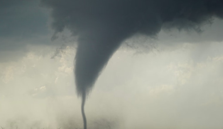
The anticipated effects of Beryl have been echoed by the National Weather Service in Houston, noting on their post via X, which highlighted the "*greatest potential* impact based on the latest forecast." The chance of tornadoes adds a layer of complexity to the already formidable challenges posed by wind and flood hazards as the storm progresses. As Houston residents prepare for Beryl's onslaught, it is clear that the next few days could be trying for the region, with nature's reminder of its strength and unpredictability.
POTENTIAL impacts for Southeast TX from #Beryl: wind, storm surge, flooding, and tornado threats. These graphics indicate the *greatest potential* impact based on the latest forecast. pic.twitter.com/KCgcUcKSDD
— NWS Houston (@NWSHouston) July 7, 2024


