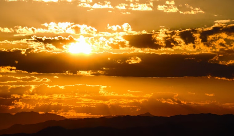
Las Vegas is preparing for a scorching weekend as a significant high-pressure system settles in, bringing with it temperatures so high they're prompting an Excessive Heat Watch for the region, including Sin City itself. The National Weather Service in Las Vegas warns of "major (Level 3) to Extreme (Level 4) HeatRisk" that’s looming over much of the forecast area through the weekend. While the thermometer's climb is a typical narrative for the desert, it's the intensity of the incoming heat wave that has meteorologists urging the public to stay vigilant.
The heat isn't the only weather phenomenon on the docket, with isolated thunderstorm activity forecasted predominantly in Northwest Arizona today. The potential for storm clouds expands into the eastern Mojave Desert come Thursday, "with an increased the risk of outflow winds being pushed farther to the west and into KIFP and KEED during the late afternoon and evening hours," according to National Weather Service. These conditions are partly due to higher-than-usual atmospheric moisture levels, which are not only contributing to the isolated storms but also adding to the discomfort of the heat by raising humidity. The National Weather Service points out that the moisture will "limit nocturnal cooling potential to some degree."
Concerns aren’t just for the daytime, as the nights offer little reprieve, with elevated dew points persisting in the region. The National Weather Service advises that the surface dew points will be "generally in the 40s and low 50s across the region," which can notably increase the apparent temperature. For Las Vegas residents, this means that even when the sun dips below the horizon, the thick blanket of warmth will continue to envelop the city, disrupting what is typically expected as a cooler nighttime environment.
Later in the weekend, the high pressure is set to migrate west and position itself squarely over Nevada, solidifying the sweltering forecast. However, "Moisture and cloud cover may also help mitigate the heat going into next week," the National Weather Service notes, indicating that there is some uncertainty on the duration and intensity of the heat wave, due to possible influences from Pacific Northwest low pressure and a Midwest trough. Pilots in the region should also be on the lookout as thunderstorm activities increase area-wide on Thursday, prompting a reminder that "spotters are encouraged to report any significant weather or impacts according to standard operating procedures." For those flying out of Harry Reid International or traversing the skies of the greater southern Nevada, northwest Arizona, and southeast California areas, expect winds that should prevail around or below 20 knots when not influenced by thunderstorms.


