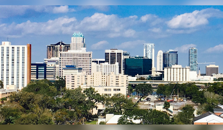
Orlando residents can expect a combination of sweltering heat and scattered thunderstorms over the coming days, as temperatures are forecast to soar into the mid-90s. According to the National Weather Service, heat indices could reach a stifling 102-107F, pushing the risk for heat stress higher, particularly as Independence Day festivities lead into the weekend. A daily chance of showers and storms remains in the forecast, ranging from 30-50% near the coast, escalating to 40-60% over the interior, including the Orlando area where the combination of high temperatures, frequent lightning, and heavy rainfall may influence local Independence Day plans.
Meanwhile, a noteworthy development in the tropics is Hurricane Beryl, which has been recorded as the earliest category 5 hurricane in the Atlantic Basin according to historical records. The storm is currently moving through the eastern Caribbean, however, its projected path is expected to stay south of Florida, offering some reprieve to the state amid the preexisting weather concerns. At sea, light SSE winds in the range of 5-12 knots are anticipated, and local waters are forecasted to have seas of 2 feet, or slightly higher, through the end of the week, presenting mostly favorable conditions for keen boaters looking to take advantage of the long weekend.
For those traveling by air, VFR conditions are predicted to hold throughout most of the TAF period with isolated SHRA/TSRA developing along the sea breeze, particularly from the Treasure Coast terminals to MCO/ISM/LEE after 22z-02z Wed. During the transitional period of Wednesday through Friday, the likelihood of rain and storm development is pinned at around 60% near and west of Orlando, with a decrease along the coast driven by a precipitating ridge moving north of the area which in consequence plays a pivotal role in steering local weather phenomena.
Looking ahead into the weekend and beyond, the oppressive combination of heat and humidity will remain a primary concern across Central Florida as temperatures are expected to hover in the mid-90s. Overnight lows in urban areas like Orlando will scarcely dip below 80F, maintaining their stand significantly above average for this time of year, the muggy nights coupled with higher-than-normal daytime heat indices may necessitate issuing Heat Advisories, especially for regions north of Greater Orlando; as storm chances persist, residents are advised to stay hydrated and seek respite from the high temperatures whenever possible.


