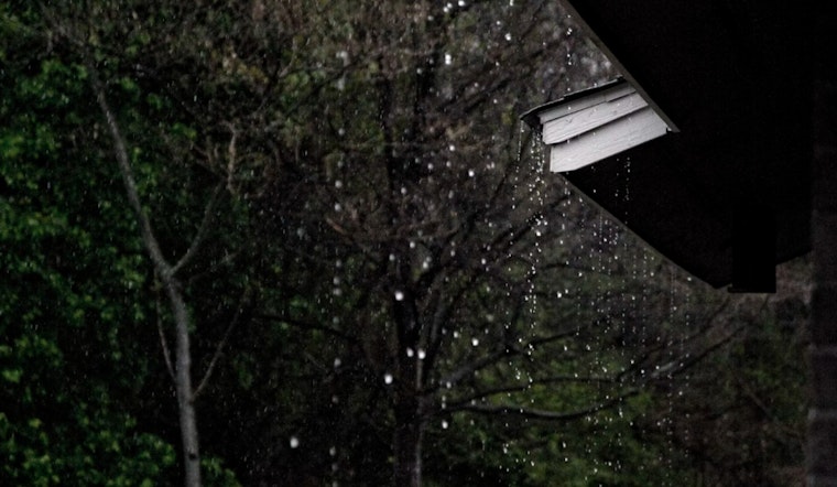
The city is set to experience showers and thunderstorms over the next several days. The National Weather Service (NWS) has predicted a high chance of precipitation ranging from 60% to 80%, with the potential for severe thunderstorms today before 10 am, then scattered showers likely after 10 am. For those venturing out, the high temperatures will hover near a humid 86 to 88 degrees through the weekend into next week.
Despite a northeast wind blowing at a gentle 5 to 10 mph, Houstonians might find themselves facing less than a tenth of an inch of rain, though thunderstorms could bring down higher amounts. With a northeast wind around 5 mph, keeping temperatures steady, the city's nighttime will not offer much respite, maintaining a muggy ambiance with lows plateauing around the mid-70s and a continued 60 percent chance of thunderous showdowns intermittently visiting through the early hours.
Moving beyond the borders of Houston, the NWS Storm Prediction Center has issued a slight risk of severe thunderstorms across parts of Southeast Lower Michigan, with a scattered threat reaching into parts of the Midwest, along with isolated strong to severe storm probabilities stretching from the Carolinas and Virginia into Northeast Georgia. With an upper ridge creating weak deep-layer flow across the southern Middle Atlantic and the Southeast, the convective temperatures will be breached as early as 5 pm, ushering in an environment ripe for afternoon thunderstorms.


