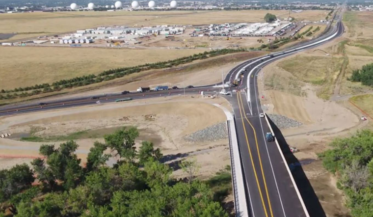
The City of Aurora is currently bustling with a high concentration of road work, boasting up to 100 active work zones on a standard workday. The city's traffic engineering staff are diligently working to keep these developments from impinging on the commuter experience. They review and approve plans carefully, ensuring that all regulations for safety are met, while simultaneously strategizing with contractors to find methods to avoid complete street closures and reduce the number of lane closures and the time they take. The aim is to maintain a flow, but sometimes, due to the unpredictability of outdoor work, whether because of inclement weather, unforeseen underground conditions, or the occasional city event, some congestion and confusion seem to be inevitable.
Despite their best efforts often yielding success, the team, aiming to avoid time and space overlap among conflicting work zones, can't always find the right alternatives. It's a constant battle against a cityscape that seems to be forever in flux, with many variables out of human control.
In response to the dynamic nature of city infrastructure projects, Aurora has launched a new tool, a user-friendly online map available for residents. This map details ongoing and upcoming road work that might affect travel, presenting a panoramic view of street maintenance, transportation initiatives, and private utility work in progress according to the City of Aurora.
For anyone interested in avoiding the next traffic snarl or simply curious about the evolution of the city's roadscape. According to city officials, this map is their latest attempt at transparency by offering real-time data on construction projects that impact the roadways, allowing drivers to strategize their commutes and daily travel routes with augmented precision.


