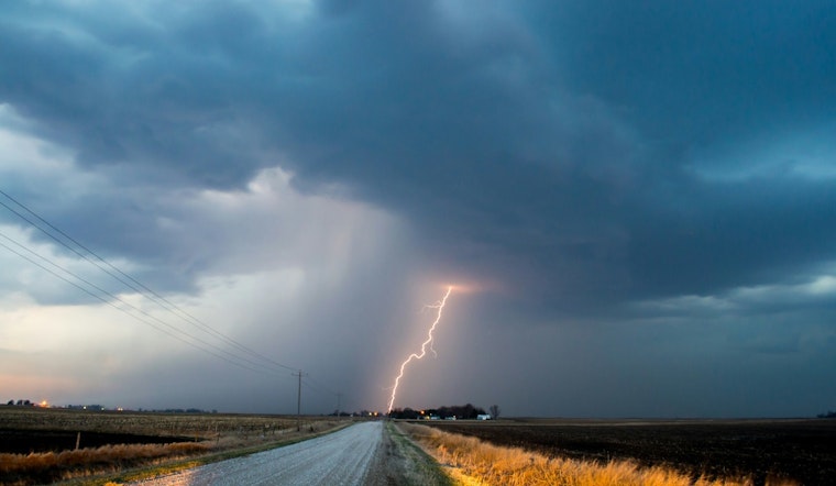
Austin residents should keep umbrellas at hand, as sporadic rain is on the outlook for today. The National Weather Service has forecast "A slight chance of showers and thunderstorms before 10am, then a chance of showers and thunderstorms after 1pm," with a 40% chance of precipitation. The weather is expected to be partly sunny with highs nearing 93 degrees and calm winds throughout the day.
The evening continues with a reduced chance of rain, setting the stage for sporadic showers and a slight chance of thunderstorms that might linger into the early night. According to KXAN, "The risk of storms turning severe is low but a few downpours could bring a quick 0.5″-1″+ of rain producing isolated localized flooding." Most areas, however, may receive less than 0.25 inches.
Looking ahead, Wednesday anticipates "a slight chance of showers and thunderstorms between 10am and 1pm," as reported by the National Weather Service. The weather will then clear up to mostly sunny skies with a high near 90 degrees. A north-northeast wind will pick up in the morning, potentially gusting as high as 20 mph.
Transitioning into the latter half of the week, a cold front is set to usher in drier air, resulting in cooler nights and less humid days. "Drier air filling in behind this front will allow for cooler nights and less humid days," detailed KXAN. Residents can look forward to overnight temperatures dipping into the mid-60s. This weather pattern promises a return to fall-like conditions, a welcome change to the recent heat.
Temperatures will see a decline towards the end of the week before rebounding over the weekend with expected mid-90s by Sunday. Despite stormy interruptions, the upcoming forecast suggests pleasant weather conditions are on the horizon for Austin.
Meanwhile, in the Caribbean, a weather system known as Potential Tropical Cyclone 9 is gathering strength. KXAN reports that what is anticipated to become "Tropical Storm Helene later this morning will bring strong winds, heavy rain and flooding concerns to the Yucatan Peninsula and parts of Cuba." Once over the Gulf, the storm is projected to intensify, potentially reaching hurricane status by landfall on Thursday, with the Big Bend of Florida in the current cone of uncertainty for landfall.


