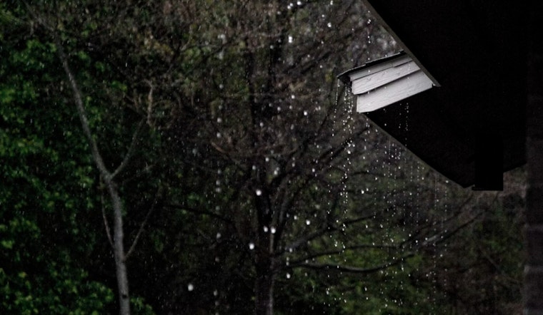
Houston residents can expect a medley of weather conditions over the next few days, starting with a 50 percent chance of showers and thunderstorms today, primarily after 1 p.m. The day will see partly sunny skies and a high near 91 degrees, with heat index values soaring as high as 105, according to the National Weather Service.
Tonight, the thunderstorm potential lingers at a 30 percent chance, mainly after 1 a.m., under mostly cloudy conditions. The low temperature will float around 75 degrees, with a calm southeast wind turning gentle post-midnight. Looking ahead to Wednesday, there's a 40 percent chance of rain with mostly sunny skies, while the high for Thursday is anticipated to top out near 87 with sunny clearings above.
Meanwhile, the NWS Storm Prediction Center has flagged a slight risk of severe thunderstorms for the Tennessee and Ohio Valleys extending into the Southern Appalachians. Additionally, a few strong storms could form across the Southern Plains, including Houston. With a positive-tilt short-wave trough moving across the region, isolated to scattered severe thunderstorms are possible today.
As we approach the tail end of the week, Houstonians can anticipate a break from the sticky heat and the tempestuous weather. "A slow moving cold front will reach the coast late Wed night into early Thu morning," reports the NWS Houston division. Following the cold front's passage, it will usher in a period from Thursday through Monday characterized by less humidity and scant chances of rain.
Warm temps and some rain chances remain in the SE TX forecast today thru Wed. A slow moving cold front will reach the coast late Wed night into early Thu morning. It will be less humid behind the front with little to no rain in the Thu-Mon time period. #txwx #houwx #glswx #bcswx pic.twitter.com/lpAGQCv1Bj
— NWS Houston (@NWSHouston) September 24, 2024


