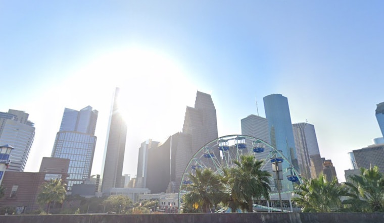
As Houstonians prepare to bid farewell to summer, the forecast remains filled with sweltering heat. The National Weather Service predicts highs in the low to mid-90s and afternoon heat indices pushing past the century mark. Light breezes from the southeast will provide scant relief as they pick up to 10 mph this afternoon.
The upcoming week continues to showcase a mixture of mostly sunny skies occasionally peppered with chances of precipitation. Modest risks of showers and thunderstorms are scattered throughout the forecast but tend to mainly linger in the afternoon hours. Houstonians should regularly check the possibility of finely planning their outdoor activities, particularly on Wednesday, when there's a 40 percent chance of storms after 1 p.m.
Weather concerns extend beyond the discomfort of heat as the Storm Prediction Center indicates a slight risk of severe thunderstorms across the Southern High Plains. These storms, driven by a strong upper trough sweeping from Arizona into New Mexico, threaten to bring large hail and possibly tornadoes. Houston, while outside the core risk area, could experience some fringe effects from this unsettled pattern.
In the present lead-up to these potential severities, the focus remains on heat mitigation. The National Weather Service Houston reminds locals that "Today is the last full day of Astronomical Summer, and conditions will definitely feel like Summer with high temperatures in the low to mid-90s and afternoon heat indices getting into the triple digits."
Today is the last full day of Astronomical Summer, and conditions will definitely feel like Summer with high temperatures in the low to mid-90s and afternoon heat indices getting into the triple digits. #houwx #txwx pic.twitter.com/zi05ODXv37
— NWS Houston (@NWSHouston) September 21, 2024


