Houston residents brace for a temperamental shift in weather as the National Weather Service (NWS) forecasts a 50 percent chance of showers and thunderstorms, mostly after 1 pm today with a high near 91 degrees, calm winds turning north around 5 mph expected and rainfall might vary from a tenth to a quarter of an inch, potentially higher in thunderstorms, tonight leads with mostly cloudy skies and a low around 70 degrees, north wind blowing at 5 to 10 mph, according to the detailed forecast.
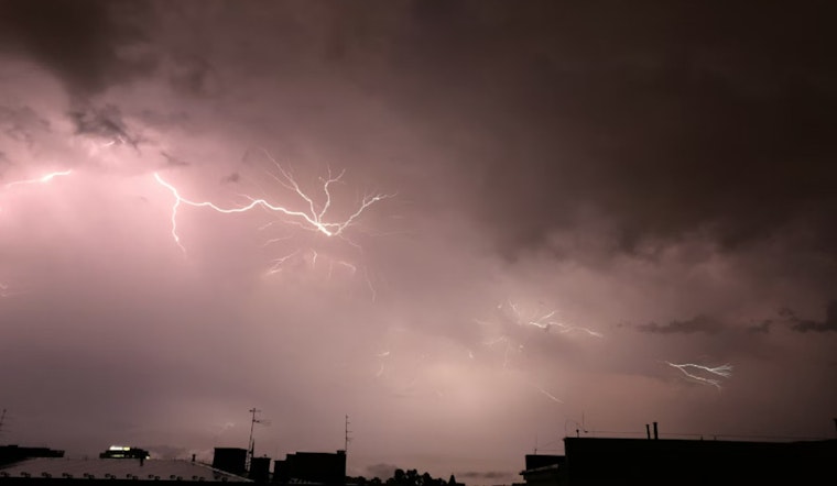
Looking beyond the immediate, the weather pattern continues bright and sunny from Thursday through to next Tuesday, with daytime highs hovering mid to upper 80s, dropping to lows around the upper 60s to low 70s at night; however, a cold front expected to sweep across the area today could lead to better storm chances this afternoon through early evening, behind the front it is set to become slightly cooler and less humid, "Best storm chances are expected mainly this afternoon thru early this evening when a cold front moves across the area," as reported by NWS Houston on X.
Here are the SE TX temp outlooks for today/tonight/Thu and also Fri-Tue. Best storm chances are expected mainly this afternoon thru early this evening when a cold front moves across the area. Becoming slightly cooler and less humid behind the front. #txwx #houwx #glswx #bcswx pic.twitter.com/IcyP61ffcV
— NWS Houston (@NWSHouston) September 25, 2024
The Storm Prediction Center elaborates on the larger weather context indicating a marginal risk of severe thunderstorms stretching from the Gulf Coast to the Southern and Central Appalachians, and into the Florida Peninsula—this is attributed to an intricate upper-level pattern complicating the climate over much of the country and the intensification of Tropical Cyclone Helene in the Gulf of Mexico, per their forecast discussion.
Specifically for Houston, isolated to widely scattered storms could arrive with a cold front driving southward, and we might see locally damaging gusts and perhaps a tornado, "Isolated severe storms are possible this afternoon from parts of the Southeast and central/southern Appalachians to the Texas/Louisiana Gulf Coast. Some tornado threat may develop across the Florida Peninsula by this evening, in association with Tropical Cyclone Helene," states the Storm Prediction Center indicating that despite the potential for strong thunderstorms, evening outflows, and a southward sagging front could reduce severity as the day progresses into the cooler, less humid air mass brought by the front.


