The Las Vegas Valley is bracing itself for a modest shift in weather as a trough of low pressure makes its way through the western United States. According to the National Weather Service Las Vegas, the trough set to swing across the region later this week may bring a sprinkle of precipitation to some areas, alongside a continuation of cooler-than-usual temperatures, before giving way to drier and warmer conditions over the weekend.
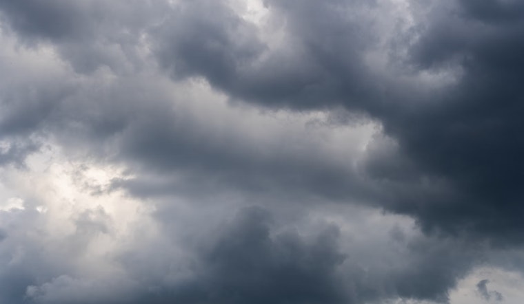
Wednesday weather for Vegas and surrounding territories remains parched and paltry in precipitation, but a few showers are forecasted to grace Esmeralda and northern Inyo counties by the evening. The trough's southward sojourn along the California Coast is expected to stir up enough atmospheric instability to induce these showers, yet with meager moisture measures of "PWATs of .50" to .60", no deluge will drench the desert, indeed, most of it being intercepted by the Sierra, meaning significant rainfall is not anticipated.
Glimmers of weak convection may appear come Friday as the center of the low pressure trots across southern Inyo, Nye, Clark, and northern Mohave counties. "CAPE values of 200-400 J/kg are forecast," per the National Weather Service, albeit the moisture scarcity remains a steadfast barrier, cutting short any fantasies of far-reaching falls. The higher ground of Inyo and Esmeralda Counties and northern Lincoln County clasp to an under 30 percent shot at scraping together precipitation amounts just shy of half an inch. Sky-high snow levels assure that any snowfall shall remain the haunt of the loftiest peaks, unfurling a potential virgin dusting upon the highest of the Spring Mountains. No impactful winds are forecasted through the end of the week.
Temperature talk trends tepidly, tickling a slight uptick today yet trailing 'round ten degrees beneath the bar of what's normal for mid-September's swelter. "Temperatures will warm slightly today when compared to Tuesday but still remain about 10 degrees below normal for this time of year," the National Weather Service advises. They're slated to sag a smidge further come Friday, as the base of the trough trundles through. Looking ahead to the weekend, as the trough bows out, Saturday should show a sunnier disposition with climbing degrees, except for the far east where clouds could curb the warmth once more, the dryness digs in for the long haul with high pressure assumed to mount from the west, paving the way for progressively warmer days peaking into early next week without an inkling of irksome winds.


