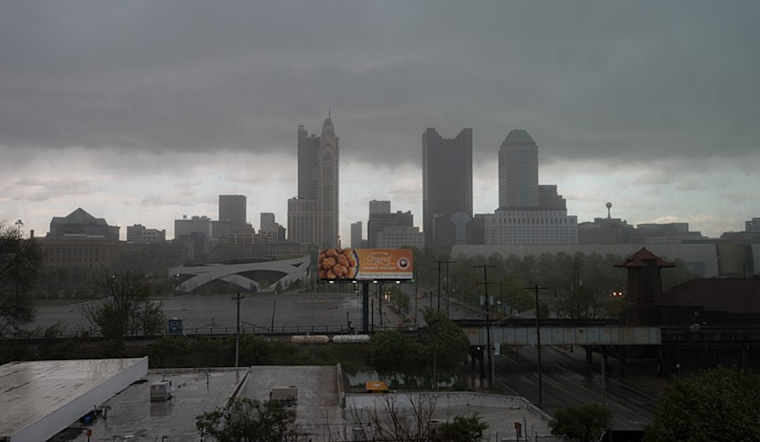
The National Weather Service has issued a forecast bringing attention to weather changes set to impact the Columbus and Cincinnati areas, Wilmington, and beyond. In a statement obtained by the National Weather Service's website, weather officials have outlined a short-term forecast involving cloudiness today, followed by showers and thunderstorms expected to arrive in the Ohio Valley tonight and into Tuesday.
As the cold front progresses southward today, it's predicted only to graze the vicinity of the Ohio River and northern Kentucky. Most of the region will be dry as low-pressure forms steadily over the middle Mississippi River Valley. Residents can expect to momentarily hold onto their umbrellas as the weather transition won't fully settle until evening. High temperatures today are anticipated to differ widely, "ranging from the mid-70s in the northwest to the mid-80s in the south," as the National Weather Service website mentions.
The coming days hold a slight uptick in atmospheric activity as a potent mid-level shortwave is expected to dig into the southern Plains. Linked to this is the northeastward movement of energy, which will promote a southeasterly to southerly wind field across the local region. This shift will help introduce "deep moisture," culminating in a sweep of rainfall and a few storms from the southwest through Tuesday morning. These storms, potentially severe with damaging winds, could mark the week’s most significant rainfall. "Some marginal severe storm/damaging wind potential" is forecasted via NWS as the instability peaks on Tuesday afternoon.
The extended forecast, which covers Tuesday night through Sunday, indicates a front stalling near the southeast, suggesting rain chances lingering for southern localities through Thursday. The weekend forecast holds uncertainty, but the main concerns are regarding tropical moisture potentially entering the region from the Gulf of Mexico late this week. While specifics remain vague, the National Weather Service forecast discussion notes a system that may cause "periods of showers and a few thunderstorms" primarily over southern and southwestern areas into early next week. Residents should still look forward to "fairly seasonable" temperatures, with highs expected in the "upper 70s to lower 80s."
Attention to aviators is advised as marginal visual flight rules (MVFR) cloud bases are expected to rise to the visual flight rules (VFR) range today. Nonetheless, the next low-pressure system is projected to affect visibility upon its arrival, thus reducing visibility and possibly impacting flight operations from late tonight into Tuesday. Anticipation of thunderstorms continues, with the National Weather Service mentioning possible "MVFR ceilings and visibilities" on Tuesday and potential lingering effects into the following night and Wednesday.


