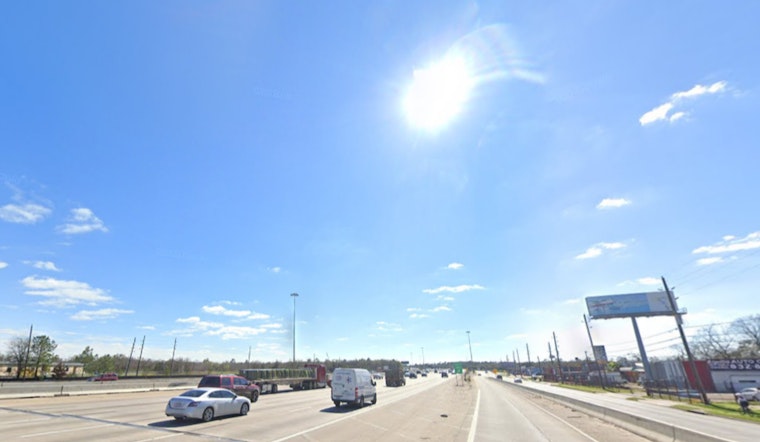
The city of Houston is set to experience a run of sunny and warm conditions over the next several days, with forecasts indicating clear skies and daytime highs teetering in the mid-90s. According to the National Weather Service, today's outlook includes calm winds picking up slightly from the northeast in the afternoon.
In addition to the rising mercury, Houstonians should note an Ozone Action Day is currently in play, reinforcing the need for environmentally conscious behavior amidst these blue skies, as mentioned in a post by NWS Houston. Although the humidity will increase the heat index, making outdoor activities potentially more strenuous, no severe weather is anticipated in the coming days, despite the possibility of a few scattered showers and thunderstorms towards the weekend.
Here are the expected SE TX high temperatures for today and Tuesday along with the high temperature and rain chance outlooks for Wednesday thru Sunday. An Ozone Action Day is in effect for today (https://t.co/xo1GaMs6Lw…). #txwx #houwx #glswx #bcswx pic.twitter.com/juq1l6vpJa
— NWS Houston (@NWSHouston) September 30, 2024
Contrasting the clear and sunny conditions in Houston, the Storm Prediction Center has highlighted a forecast indicating that central and eastern North Carolina may see a few strong storms, although severe thunderstorms are not expected. As the main westerlies move far north of Texas, meteorologists are monitoring a weakening low-pressure system in southwestern West Virginia that might impact the weather in the eastern states.
Looking ahead, the forecast from Tuesday onwards features consistent sun-drenched days with the mercury lingering comfortably in the low 90s through to Thursday, with nighttime offering little respite from the warmth, as temperatures are expected to hover in the low to mid-70s. Friday however ushers in a slight shift, with the chance of showers and thunderstorms reaching 30 percent after 1 pm, according to the forecast.


