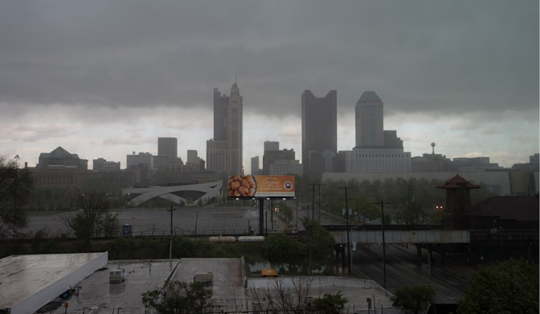
Residents in Columbus, Cincinnati, and beyond should expect a brief interlude of showers and thunderstorms this afternoon into early evening. This will particularly impact eastern parts of the area as a cold front makes its way through the region. This heads-up comes courtesy of the National Weather Service, which has promised a return to dry conditions and near-normal temperatures for the remainder of the week once high pressure mounts its hold over most of the United States.
As the front aligns itself closely to the I-71 corridor around 20z, showers and thunderstorms are expected to spring up in its wake by 21z, primarily east of I-71. According to the National Weather Service, "These storms will be forming in an environment characterized by a sufficient (albeit narrow) corridor of richer LL moisture (contributing to moderate instability on the order of 1000-1500 J/kg), with seasonably strong LL/deep-layer speed shear/wind fields and supportive ML lapse rates (~7C) as well." There's a twist in the fabric of calm, however, as a "few strong to severe storms" could occur into late afternoon, particularly around Licking, Fairfield, and Hocking Counties in Ohio, though the confidence in severe local storms remains on the lower side.
Temperature-wise, the count is high, expecting highs to crest into the lower to mid-80s across many spots. However, the post-frontal setting could witness a minor dip in the mercury levels as the day progresses. Also of note is the "very dry air," according to the National Weather Service, expected to filter in from the northwest later in the day, possibly creating elevated fire weather conditions in parts of west-central Ohio and east-central Indiana due to gusty northwest winds and plummeting relative humidity values.
The forecast through the remainder of the week up until Saturday presents a tranquil tableau. The dominance of the expansive high-pressure system should usher in a period of what meteorologists like to call 'steady state.' The weather is expected to be close to seasonal norms during this phase. The National Weather Service projects, "Highs near 70 and lows in the lower 40s under generally clear skies will be the norm." The outlook remains clear of any significant weather disruptions, making for one less worry on the minds of those in the region as they go about their lives under vast and peaceful skies.


