Baltimore residents might want to hold onto their hats as an incoming cold front is set to whip through the Baltimore, MD/Washington area later tonight. This follows a day likely to be marked by warm advection and strong south-southwesterly gusts in the range of 20-35 mph. According to the National Weather Service, the synoptic stage is all set for a low-pressure system to sweep across the southern Great Lakes, dragging the cold front into early Monday morning after most of today clears up with only patchy clouds.
While we're looking at temperatures climbing well above the norm, into the lower to mid-80s, this will change sharply tonight when the front pushes eastward across the area, cooling down significantly from west to east – locations east of I-95 might stay in the 60s. In comparison, higher elevations could dip into the 40s. Indeed, weather whims are afoot, bringing a mixed palette of rain showers and possibly even snow on the higher peaks as temperatures near 0 at 850 mb. "Most of the day does appear dry with only some patchy mid and high level clouds," states the forecast from the National Weather Service.
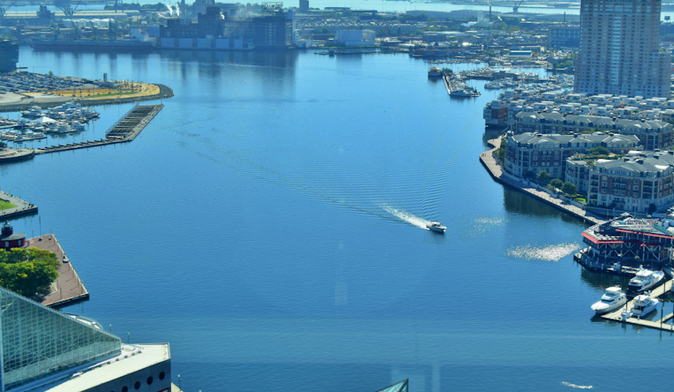
For those at sea, the winds aren't going to be any kinder. A Small Craft Advisory is in effect from noon today to 6 PM EDT Monday, covering a decent swath of Maryland's waters. Boaters in the Chesapeake Bay could see near gale-force winds, although this is likely to be a brief surge.
It's not only the mariners feeling the blow, as coastal regions could also be impacted; strengthening south winds may cause water levels to rise, potentially pushing sensitive shorelines into the Action Stage later today. Annapolis hovers closest to the minor flood stage, though no coastal flooding is explicitly forecast at this time. The Baltimore weather narrative seems set with twists, yet the central plot remains clear. Mother Nature is set to chill the scene soon after she warms the stage.


