Baltimore residents can expect a mix of weather conditions in the coming days, according to the National Weather Service Baltimore MD/Washington DC. Today, the region is under the influence of high pressure from the southeast, leading to sunny skies and warm temperatures with highs in the mid-70s to near 80. The pleasant conditions, however, are anticipated to shift as a low-pressure system makes its way across the Great Lakes on Sunday, bringing a cold front through the area Sunday night. For detailed forecasts and updates in your area, visit the National Weather Service.
Late tonight, a dry front linked with low pressure near the Canadian Maritimes is expected to stall near the Potomac River, possibly bringing mid- and high-level cloud cover. According to the National Weather Service report, "The mid and high clouds may even clear the second half of the night as the warm advection aloft pivots northward." Residents in the cooler, rural, sheltered valleys could see nighttime lows from mid-40s to mid-50s.
As a potent trough digs into the Great Lakes on Sunday, we could see some isolated warm advection showers in northwestern parts of the CWA. The National Weather Service states, "Models are in general agreement that the stalled front will lift to the north," resulting in gusty south and southwest winds by afternoon. Under the generous sunshine, temperatures are expected to climb into the upper 70s and lower 80s. A cold front accompanying the low pressure will begin to push through after 5 PM, with the potential for scattered showers and thunderstorms, particularly along the Alleghenies.
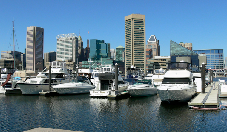
On the marine front, boaters are advised of marginal Small Craft Advisory conditions prevailing this morning and expected to lessen after sunrise. The Small Craft Advisory is in effect until 6 AM early this morning, mainly covering the open waters and areas impacted by westerly winds. With stronger winds anticipated on Sunday and into the night, boaters should exercise caution. Additionally, south winds escalating late Sunday might prompt a surge into Action Stage along sensitive shorelines, including Annapolis and Washington DC's SW Waterfront. However, no coastal flooding is explicitly forecasted at this time. For marine forecasts, visit the National Weather Service.


