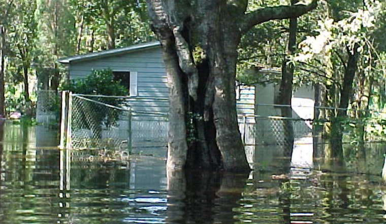
The National Weather Service in Jacksonville, FL, has issued a coastal flood advisory that is now in effect until 5 AM EDT Tuesday. The NWS warns of minor flooding possible around times of high tide, primarily affecting Northeast Florida beaches. Residents and visitors to the areas of Coastal Nassau, Coastal Duval, Coastal St. Johns, and Coastal Flagler should be aware and take necessary precautions.
Additionally, there continues to quickly be a high rip current risk which is in effect through late tomorrow night. As stated by the NWS, "Rip currents can sweep even the best swimmers away from shore into deeper water." The agency also cautions that the affected areas may experience "flooding of lots, parks, and roads with only isolated road closures expected."
Precautionary and preparedness measures advised by the NWS include allowing extra time for travel as some roads may be closed, not driving around barricades or through waters of unknown depth, and protecting flood-prone property. Weather forecasts anticipate mostly sunny skies, with highs ranging from 76 to 83 degrees Fahrenheit over the next several days, which may offer some reprieve to residents in the affected regions.
As for beach safety, the NWS advisory stresses the importance of swimming near lifeguards and outlines steps to follow if caught in a rip current: "If caught in a rip current, relax and float. Don't swim against the current. If able, swim in a direction following the shoreline. If unable to escape, face the shore and call or wave for help."


.jpg)