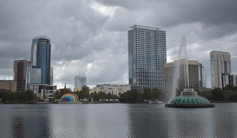
Orlando residents can expect to face a mix of weather conditions over the upcoming week, as outlined by the National Weather Service Melbourne FL. The city is set to experience an increase in low-level moisture drawing from the Atlantic that will herald sporadic showers, particularly across the coastal regions.
As the workweek progresses, the forecast suggests a higher likelihood of rainfall with periods of gusty onshore breezes beginning Tuesday, potentially affecting outdoor plans and commutes. Amid these conditions, the National Weather Service warns to "expect intervals of thick clouds and heightened shower coverage as they move overhead from the Atlantic." In terms of sky conditions for aviators, VFR conditions are predicted to prevail, though it seems inevitable to not avoid a few operational adjustments due to the -SHRA activity tracking in from over the Atlantic.
The temperatures throughout the area will hover near to just above seasonal norms. This is partly due to the continued onshore wind that's also expected to contribute to boating cautions. "Beach and boating conditions are set to become hazardous as seas build this week," states the National Weather Service. Starting Tuesday, high-risk wind gusts in the coastal region are forecasted to reach 40-50%, making for particularly choppy marine conditions.
Looking towards the weekend, a consistent east/onshore flow is likely to maintain a mix of cloudy skies and passing showers. The National Weather Service highlights the importance of being vigilant on the water, as "seas build to 5-8 FT nearshore / 7-10 FT offshore." Boaters should prepare for Small Craft Advisories kicking in as early as daybreak on Tuesday. To put it more firmly, the marine outlook isn’t promising for those hoping to calmly navigate the local Atlantic.
The National Weather Service also imparts a subtle reminder that despite the fall season, we are still within hurricane season boundaries, and developments in the Caribbean are worth monitoring. With a "40% chance for tropical development in the Caribbean Sea over the next 7 days," there's an air of cautious observation settling over Central Florida, underlining the erratic nature of both weather and sea.


