Southern Californians may want to pull out their jackets and tread carefully for the start of this week as a significant shift in the weather blankets the region. According to a National Weather Service (NWS) San Diego update, gusty conditions across the mountains and deserts are expected to persist through early Tuesday, paired with a marked drop in temperature. Drivers are urged to exercise additional caution, especially when traversing these areas.
While coastal residents might see lighter effects, inland communities should brace for "much cooler" temperatures and the possibility of light showers, as detailed by the NWS. High desert regions could experience temperatures dipping below the mid-30s by Wednesday morning, raising chances for frost in spots near Victorville and Apple Valley. Unlike previous forecasts, precipitation is predicted to be limited, with most locales accumulating less than a tenth of an inch of rain.
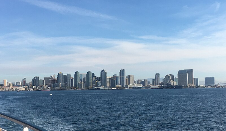
Affected by this noticeable cooldown is the Greater Los Angeles area, encompassing regions as diverse as Orange, San Diego, Western Riverside, and Southwestern San Bernardino counties. The chilled air thrumming through these counties marks a significance; Palm Springs, which hasn't seen a high below 80 degrees since last April, could be pleasantly surprised. Meanwhile, higher elevations could witness temperature highs primarily in the 40s and 50s—perhaps encouraging for those seeking a reprieve from the lingering warmth of the past months.
Alongside the drop in mercury, winds have also been picking up speed. The National Weather Service San Diego reports breeziness in the mountain passes, with speeds around 25-35 MPH, and predictions of further intensification throughout the day. Drivers may face even more rigorous conditions, with gusts potentially exceeding 45 MPH. Mariners should heed an active Small Craft Advisory as the combined force of northwesterly winds and a westerly swell escalates, creating treacherous sea conditions.
The coastal areas are not immune to nature's whims, with a Beach Hazards Statement issued this morning through Tuesday evening. Surfers and swimmers in San Diego County could negotiate waves reaching 7-8 feet at their peak tonight and into early Tuesday. These strong tides and the accompanying surf underscore the unpredictable pulse of nature that sweeps our shores and landscapes, compelling a watchful respect from all who dwell and visit therein.


