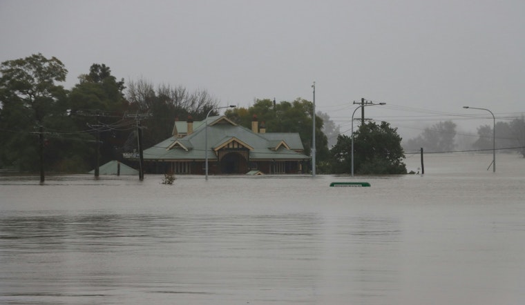
As the nation's capital braces for a bout of overcast skies and calm breezes, D.C. residents are advised to keep an eye on coastal waters. The National Weather Service (NWS) is alerting the public to an extended Coastal Flood Advisory now in effect until noon EDT Friday. The advisory forecasts up to one foot of inundation above ground level in low-lying areas due to tidal flooding, affecting shores along the District of Columbia.
Cloud cover will not loosen its grip today, with the NWS expecting mostly cloudy conditions and a comfortable high near 76 degrees. Coming nightfall will introduce little change, as the overcast persists and temperatures dip to a low around 62. The story tells not far different for Friday, with cloud coverage continuing unabated and the high inching up slightly to near 77 degrees. For residents making plans, calm winds will shift subtly from the south in the afternoon, rolling at about 6 mph.
The NWS underscores particularly vulnerable areas along portions of the seawall adjacent to Ohio Drive and the Hains Point Loop Road, as well as near the Tidal Basin, where shoreline inundation is expected. While the mercury climbs to a consistent high in the mid to upper 70s during the day, clear skies will finally emerge on Saturday, suggesting a promising end to a streak of cloudy days.
Officials warn that some roads may be closed, and travelers are advised to add extra time to their commutes and steer clear of barricades or waters with unknown depth. Tides are projected to reach one and a half to two feet above normal, with the next high tide at Washington Channel expected at 9:15 AM and later again at 9:31 PM, as noted in a statement obtained by the NWS. Residents have been urged to safeguard flood-prone properties in anticipation.
The week ahead looks to be a gradual arc toward clearer and more stable conditions, with daytime highs consistently around 77 degrees, and nightly lows trending downward from the low 60s to a crisper 49 degrees by next Tuesday night. For locals and visitors alike, the latter part of the week could become an invitation to the outdoors, to bask in the sun-drenched tableau that is Washington D.C. post-cloud cover.


