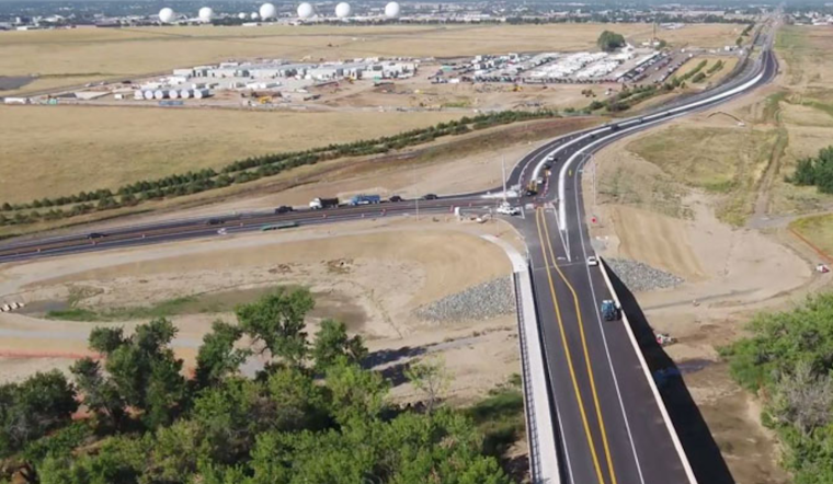
The streets of Aurora are amidst a transformation, with infrastructure development being a top priority in the city's efforts to cater to both its existing citizens and those yet to come. The surge in infrastructure investment has inevitably led to the sprouting of multiple work zones, with the number of active sites sometimes reaching up to 100 in a single day. The city's traffic engineering staff, aware of the potential disruptions, employ a range of strategies to mitigate the impact on daily commutes.
Working closely with contractors, these city officials tirelessly look for ways to potentially reduce street closures and truncate lengthy lane shutdowns. According to the City of Aurora, their efforts are largely successful in keeping work zones from clashing with each other temporally or geographically. Yet even with the best-laid plans, unpredictabilities such as weather conditions or unforeseen incidents sometimes throw a wrench in the works.
For those residents aiming to navigate these necessary but oftentimes inconvenient developments, the city has deployed a new digital tool. An online map has been introduced to serve as a real-time guide for motorists and commuters alike, detailing ongoing projects that might affect traffic flow. This initiative captures a comprehensive range of activities from street maintenance to utility works, and from transportation projects to private development endeavors affecting the roadways.


