The most recent weather update for Baltimore, MD, and Washington, DC, outlines the current conditions and provides an outlook for the coming days. According to the National Weather Service, residents in Baltimore can anticipate a calmer day with decreased winds and slightly warmer temperatures as high pressure makes a brief comeback.
In the near term, through tonight, high pressure is returning from the south, centering itself over the central and southern Appalachians. The forecast predicts that mid to high-level clouds will linger, especially west of the Blue Ridge, due to light upslope flow. The clouds should start to clear by the afternoon, making way for primarily to partly sunny skies. Despite elevated west-to-northwest gusts this morning, winds will gradually decrease in the evening. Tonight's temperatures are expected to drop into the low to mid-30s.
As for the short-term outlook from Monday through Tuesday night, a drying trend is on the radar at the beginning of the workweek. However, according to the National Weather Service, a quick-moving cold front is forecasted to pass through the region Monday night into early Tuesday. This frontal system should provide some much-needed precipitation to areas experiencing ongoing drought, albeit with light rainfall amounts, mostly under one-tenth of an inch.
High temperatures on Monday are set to climb well above normative averages, potentially hitting the low to mid-60s. "The cold front quickly exits the region Tuesday morning into Tuesday midday allowing for brief high pressure to build back over the region," the National Weather Service warns, anticipating post-frontal winds to turn to the west and northwest with gusts ramping up to 20-30 mph before calming Tuesday night.
Looking further out into the week, Wednesday is pegged as another dry day. A more complex weather system from the central Plains will likely bring rain to the Baltimore region Wednesday night through Thursday. Cooler temperatures and snow are forecasted primarily for the mountain regions moving into the weekend.
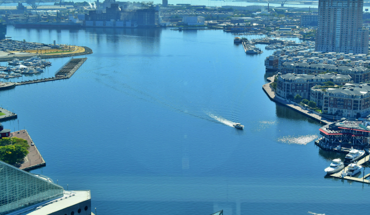
For mariners, Small Craft Advisories are in place through the early afternoon with gusts up to 20 knots, according to the Marine section of the forecast. Patronage on the waters should note that winds will turn southerly on Monday, with potential Small Craft conditions persisting ahead of the cold front and into Tuesday. Gusts may further climb post-front, and there could be brief spells where Gale force gusts are possible.


