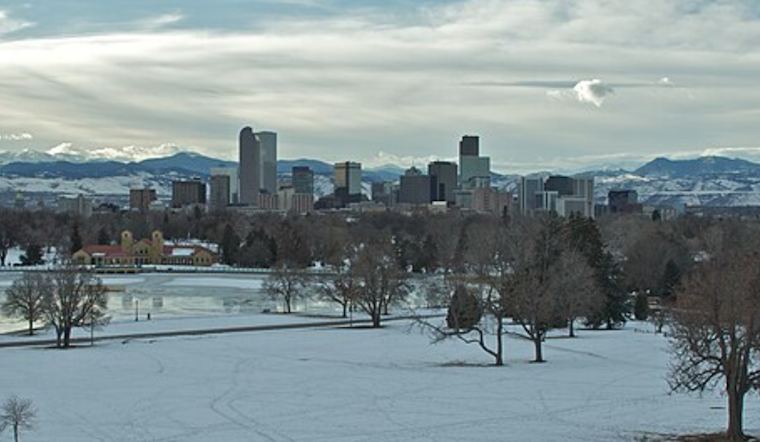
Denver residents can expect a mix of weather conditions over the next week, as detailed by the National Weather Service in Denver. Today's partly sunny skies with a high near 66 degrees are forecasted to shift, giving way to cooler temperatures and potential precipitation as the week progresses. According to the National Weather Service, tonight will remain partly cloudy with lows around 35.
For those looking to spend Sunday outdoors, the NWS predicts mostly sunny conditions with a high near 57. However, the weather is expected to quickly turn, as a chance of rain begins Sunday evening, transitioning to a possibility of rain and snow past midnight. The NWS reports a "40 percent chance of precipitation" and a potential "new snow accumulation of less than a half-inch possible." Residents are advised to possibly prepare for slick roads and travel disruptions.
Monday should bring mostly sunny skies with highs nudging back up to around 49 degrees. But by Tuesday, a 20 percent chance of rain creeps back into the forecast. The outlook for the rest of the week suggests a more significant chance of adverse weather, with rain likely early Wednesday morning, which could lead to a combination of rain and snow later in the day. "Rain and snow likely, becoming all snow after 9 am," cites the National Weather Service.
Thanksgiving Day travelers will have to navigate potential snowfall and chilly temperatures hovering near 37 degrees, though clearer skies may make a brief appearance. Wednesday night into Thursday could see low temperatures dropping to around 22 degrees, with another dip to near 17 degrees by Thursday night. The NWS cautions that "widespread travel impacts can be expected for all mountain routes" due to the incoming second system later in the week, urging holiday commuters to plan accordingly.
The hazardous weather outlook, released for northeast and north central Colorado, indicates small pockets of elevated fire weather conditions in the foothills today due to dry, mild, and breezy elements. Although spotter activation isn't anticipated today or tonight, the NWS urges the community to stay alert to the changing conditions, especially those planning travel during the holiday week. As the weather evolves, Denver inhabitants and visitors should consistently check updates to avoid any unforeseen challenges posed by this dynamic meteorological pattern.


