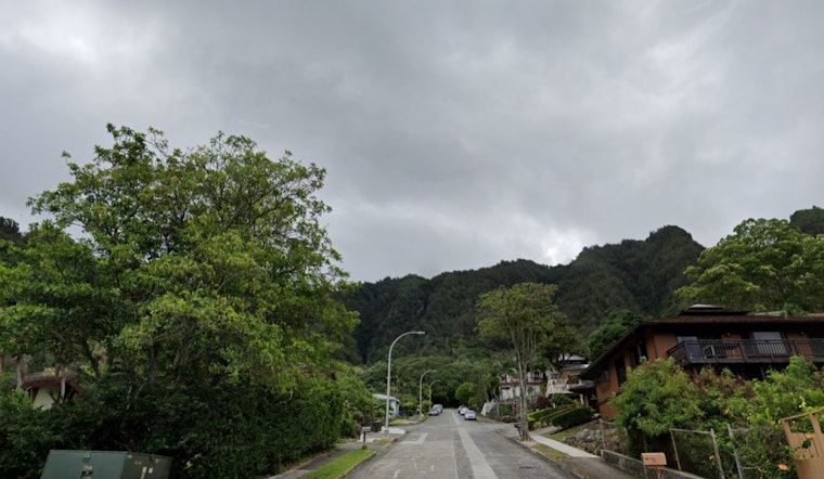
Honolulu residents can expect an increase in showers as a weak front makes its way over the state, primarily affecting the western half from this afternoon through tomorrow, according to the National Weather Service (NWS). The NWS forecast points to Kauai and Oahu as the areas most likely to experience rainfall, while Maui should brace for the front's effects later in the day before it dissipates.
The NWS forecast discussion indicates that while the approaching band of low clouds and embedded showers could reach Kauai by this afternoon, followed by Oahu tonight, no significant rainfall is expected; meanwhile, light winds and mostly dry weather will dominate the coming week after the front's passage. Concerns over rainfall appear limited, at best windward, and nonexistent leeward once the weather system fades away. A "gentle to moderate north to northeast trade wind flow" is anticipated post-front, potentially giving way to hybrid land and sea breezes in sheltered areas.
On the aviation front, light variable winds are expected to allow the development of land and sea breezes across most of the Hawaiian island chain, the NWS discusses, with VFR conditions likely prevailing; notwithstanding, Kauai may see brief MVFR conditions due to the incoming front. Meanwhile, an AIRMET Sierra remains in effect for windward Big Island due to mountain obscuration; AIRMET Tango has been issued for moderate upper-level turbulence affecting smaller islands, and possibly extending to the Big Island later today.
For mariners, light and variable winds will persist as the weak front moves over Kauai waters, with sea breezes developing near coastlines—the same forecast expects a weak area of high pressure to usher in light to moderate trade winds around midweek, though the confidence in this pattern holding is not high, trade winds may diminish by the week's end as a low passes to the north. A High Surf Advisory is in place until early tomorrow for certain shores due to a medium-period NW swell, although no significant south swells are on the horizon.
Regarding fire weather conditions, the NWS warns of continued elevated KBDI values across leeward areas, with relative humidity possibly reaching the critical threshold; however, the forecast mentions that light winds will likely prevent the development of critical fire weather. And wrapping up the advisories, the High Surf Advisory pertains to shores of Niihau, Kauai, Oahu, Molokai, and Maui's north facing shores — a precaution as we head into the latter part of the weekend.


