San Diego is in for a sun-kissed weekend as the National Weather Service of San Diego predicts warm weather to continue, with only occasional high clouds scattered across the sky. The light offshore winds add a touch of freshness to the balmy days, marked by temperatures set to linger above the seasonal norms. This trend will remain steadfast into the coming week, urging locals and visitors alike to shed their winter layers for more comfortable, breathable wear.
The skies this morning witnessed a ballet of scattered high clouds, ahead of an upper-level closed low, dancing far off the Southern California coast. Surface pressure gradients have shown a slight offshore bias, "around -10.4 mb SAN-TPH and -5.3 mb SAN-DAG," according to the NWS San Diego, as the offshore gusts play within the confines of the passes and canyons, especially in areas like the Cajon Pass where gusts might reach up to 45 mph. The winds are expected to come down as the day progresses, only to pave the way for another warm day with inland coastal areas and valleys relishing in the mid to upper 70s.
Come Sunday, minimal changes are anticipated as a high-pressure system nears California, causing the offshore flow to weaken, which will, in turn, dial down the daytime warmth by a few degrees. Conversely, the desert regions may feel a slight uptick in warmth. Into the week, another trough will approach the Southern California coast, bringing some more cooling and high clouds to the area, though it seems no significant moisture will accompany it.
Concerning aviation impacts, according to the National Weather Service, "NE-E winds with local surface gusts 15-25 kt will continue in the foothills, mainly below Cajon Pass, Banning Pass, and VCNTY RNM/CZZ through about 18Z this morning." There is a moderate chance that low stratus/fog could encroach upon the San Diego County coast late this evening, potentially impacting visibility for coastal areas. Nonetheless, offshore winds are expected to act as a repelling force, keeping the coast clear including KSAN, but should the fog breakthrough, it's predicted to make landfall around 08Z Sunday, lifting by mid-morning.
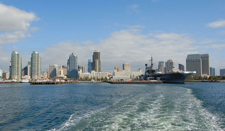
Out on the waters of San Diego, mariners have little to worry about as the sea promises calmness with no menacing marine weather conditions expected through the midweek. A brief caution though, some very patchy fog may roll in early Sunday and Monday mornings, and is "more likely Tuesday morning." As always, though Skywarn activation is not warranted at this moment, weather spotters are encouraged to stay vigilant and report any significant climatic observances. According to the National Weather Service report.


