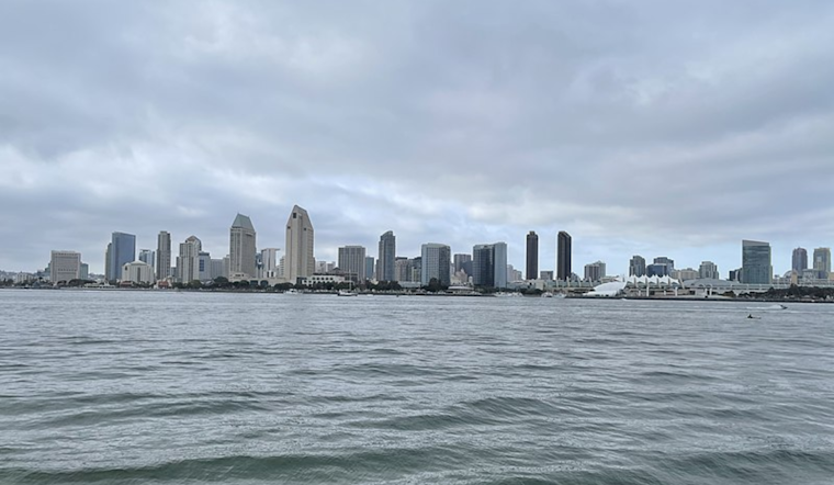
As the week unfolds, San Diego residents can anticipate a weather pattern characterized by near-normal temperatures interspersed with chances for light showers, particularly in the High Desert and San Bernardino mountains starting this afternoon. This information comes from an Area Forecast Discussion released by the National Weather Service San Diego, highlighting the influence of an Atmospheric River that's bringing rainfall to Central California today and a likelihood that these showers will extend further south into tomorrow.
Moving into Tuesday and Wednesday, this approach of an Atmospheric River indicates an increased possibility of precipitation spreading southward toward Orange County and the Inland Empire. While the San Bernardino Mountains will see the highest probability of rainfall, "most areas will see less than one-tenth inch of rain," as stated by the NWS San Diego update. Residents in higher elevations can expect breezy southwest to west winds this evening through Tuesday night, with gusts peaking between 25-40 mph on Tuesday afternoon and evening.
Once the scattered showers wane by Wednesday evening, a brief period of dry and warmer conditions is forecasted for Thanksgiving, thanks to a weak offshore flow. However, an upper-level low off the coast of California on Friday casts uncertainty over the weekend's weather, presenting a problem for meteorologists. Precipitation forecasts for Friday through Sunday are notably uncertain, with varying model outcomes ranging from continued dry conditions to potential light rain accumulations.
Mariners, meanwhile, can take solace in the expectation of calm seas ahead, as "no hazardous marine weather is expected through Friday," as detailed by the National Weather Service San Diego. With the holiday season fast approaching, weather spotters are encouraged to report any significant conditions, although Skywarn activation has not been requested.


