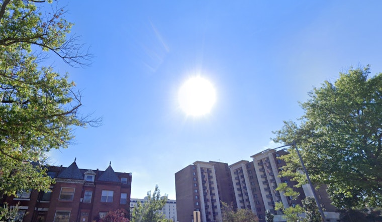
Residents of Washington D.C. can expect a turn in the weather today, with forecasts showing sunny skies and a modest high near 52 degrees Fahrenheit. Winds will shift from the north at a gentle 5 to 7 mph to east in the afternoon. Heading into the evening, clouds are set to gather with a low predicted around 39 degrees, accompanied by a light east wind, signaling a change that carries into the latter half of the week, as noted by the National Weather Service.
The NWS has indicated that showers are likely after 1 p.m. on Thursday, with overcast conditions and highs inching up slightly to a near 54 degrees. The east wind will persist, ranging from 5 to 9 mph, and the chance of precipitation is marked at 60%, with new precipitation amounts being estimated between a tenth and a quarter of an inch, which might be enough to warrant the use of umbrellas and raincoats during the afternoon commute.
Thursday night will see continued showers, with the temperature dropping to a low around 45 degrees. Post-midnight, the east wind is expected to give way to the north. It will be wet with precipitation chances escalating to 80%, and new rainfall amounts could tally between a quarter and a half of an inch. Those planning to be outdoors might want to prepare for more persistent downpours.
By Friday, the week's gloom begins to clear up, offering partly sunny skies with a high reaching near 57. Northwest winds will blow at a steadier clip of 6 to 10 mph. For those planning weekend activities, the weather looks promising. The NWS forecast predicts a mostly clear Friday night with lows around 45, and a sunny Saturday with highs nearing 62, perfect for any outdoor engagements or events. The favorable conditions are poised to extend into Sunday and the start of the week, with mostly sunny skies and high temperatures consistently in the mid-60s, allowing residents a reprieve from the rains of midweek.
For a detailed look at the weather forecast, visitors can head to the National Weather Service website here.


