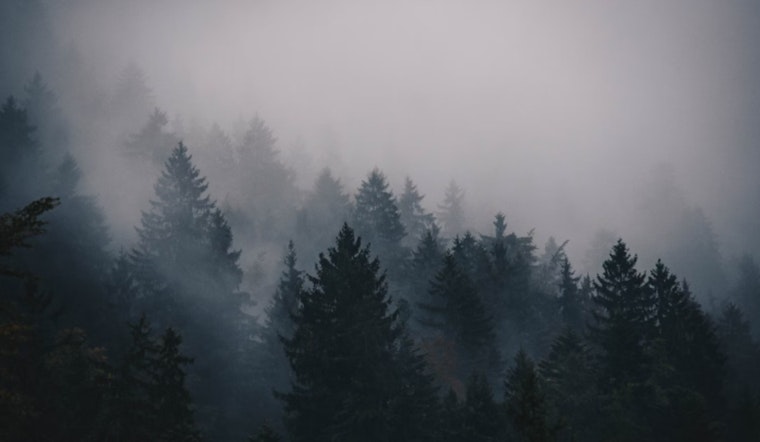
As the winter season continues its advance, Sacramento residents can expect the persistent morning fog to hold until Saturday. The latest report suggests the fog may limit visibility to just 2 miles in places, though it should dissipate with the warming day. Drivers are advised to exercise extra caution during the early hours particularly in the areas between Highway 99 and Interstate 5 with a 30% to 50% chance of visibility dropping below 1 mile, according to the National Weather Service Sacramento CA.
Despite the foggy start, the region is set to experience a slight rise in temperatures with highs reaching the 60s to low 70s across the Delta, Valley, and foothills, this is according to the National Weather Service's morning briefing. On the other hand, the Sierra regions will maintain cooler temperatures in the mid 50s to low 60s. Looking ahead into the coming days, "A progressive shortwave trough moving from the Pacific Northwest toward the Plains this weekend into next week will begin to push the amplified ridge eastward on Saturday," with the forecast predicting a return to the early December normals, and, a pick up in north to east winds.
By Sunday, these winds may pick up further as part of the weather system that will cross the Pacific Northwest, causing gusts that could potentially exceed 40 mph in some areas. Monday appears to carry a higher probability of such gusts, specifically, "20% to 40% along and west of Interstate 5 and along high elevations of the Sierra," the forecast discussion from the National Weather Service indicates. These conditions merit close monitoring particularly for those with outdoor plans or conducting operations that could be affected by strong winds.
The extended forecast, which stretches from Tuesday through Friday, shows stability returning to the area as the trough continues to move eastward. This period is expected to have "near normal high temperatures of mid 50s to low 60s across the Delta, Valley, and foothills and mid 40s to low 50s at higher elevations," as per the National Weather Service. While this brings a sense of normalcy, there's an anticipation of changes as the week progresses with a potential deepening trough from the Gulf of Alaska that could pivot the weather back into a more impactful phase toward the end of next week.
As for air travel, the National Weather Service advises that there will be local MVFR and possible IFR conditions in BR/FG through 18Z Friday within the Southern Sacramento and Northern San Joaquin valleys. Otherwise, VFR conditions are expected over interior NorCal in the next 24 hours, with surface winds staying generally below 12 kts. However, in northern and eastern foothills and mountains, gusts could reach up to 30 kts. Pilots should remain vigilant and consult the latest aviation forecasts ahead of flights.


