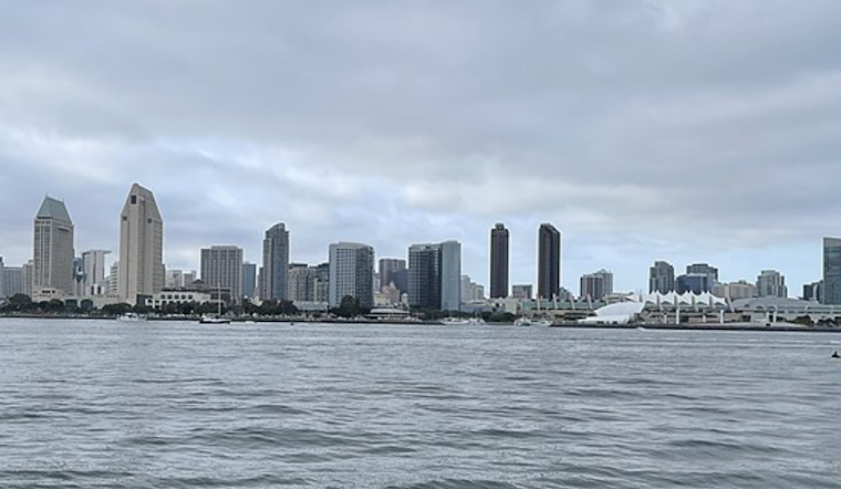
Southern California is bracing for varied weather conditions over the holiday season, with some areas set to face treacherous beach conditions while others can expect gusty winds and light rain. According to NWS San Diego, inexperienced swimmers are urged to stay out of the water due to expected strong rip currents and high surf.
While the anticipation for Christmas Eve mounts, a weather system is projected to bring more than good cheer. It appears set to introduce light showers, primarily on Tuesday afternoon through the night, potentially complicating holiday travel plans. Gusty west winds are also expected to sweep across the mountains and deserts on Christmas Eve, with winds gusting between 25-45 MPH and locally exceeding 50 MPH. Travelers are advised to drive with caution amidst these challenging conditions.
In a detailed forecast discussion, a large 960mb area of low pressure off the West Coast was cited as influencing the current weather pattern. This system has been bringing higher-level clouds across Southern California, limiting marine layer and fog development, and conditions are expected to persist through Monday. "Dry weather will continue through Monday as the trough moves into Northern California," reports NWS San Diego in their area forecast discussion.
However, as the trough comes ashore by Tuesday, the region is projected to see a shift. "Light shower chances will increase by early Tuesday afternoon and overnight," with showers tending to be light and gusty west winds expected across mountains and deserts. Post-trough, the area is slated to dry out with cooler air prevailing and sunshine returning. By Christmas Day, temperatures are forecasted to be within a few degrees of normal, with a gradual warming trend as high pressure builds, per NWS.
The marine and beach forecasts also paint a challenging scenario for seafarers and beachgoers. "Long period WNW swells (280-290 deg) of 8-11 feet continue to increase this morning through Tuesday night," with the most significant swells expected in outer coastal waters, prompting a Small Craft Advisory. For the beaches, "high surf of 6-12 feet with locally higher sets" projected through Wednesday could make swimming hazardous and enhance the risk of coastal flooding. Beachgoers are cautioned to heed the ongoing High Surf Advisory.


.jpg)