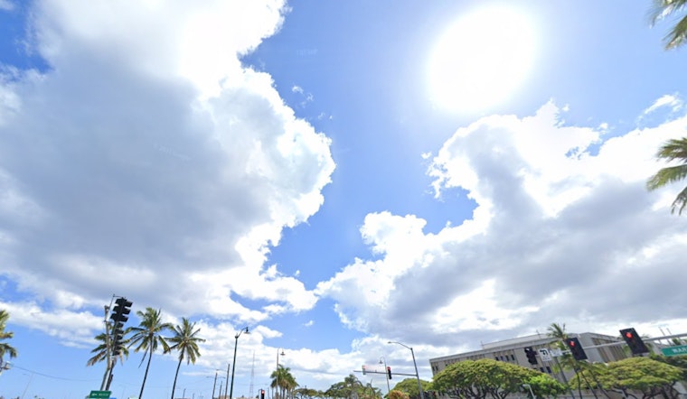
Honolulu is gearing up for a relatively quiet weather pattern, as per the latest forecast from the National Weather Service in Honolulu. With trade winds easing up to a gentle breeze, the expectation is for a few, predominantly light showers this morning, which are most likely in windward areas from Kauai to Molokai, moving on to stable and dry conditions with light winds from tonight through this coming Sunday.
The week’s weather began with an increase in low cloud cover and rainfall due to low-level moisture from a dissipated front, with rain gauges on Kauai and Oahu recording between a quarter and a half inch of rainfall. However, as a fast-moving high approaches from the northwest, conditions are shifting. Winds, which were from the northwest last night, have veered to the northeast, bringing the promise of a dry spell through the weekend.
Anticipating the skies ahead, the forecast indicates that a "fast-moving high" will weaken this afternoon, allowing the moisture boundary to stall and dissipate. As a result, the region will transition to a subsiding and dry weather pattern. Light winds are expected, enabling sea breezes in the afternoons, followed by clear nights and mornings. According to a statement from NWS Honolulu, there is only a slight chance of an afternoon shower over the weekend.
Marine conditions, however, warrant closer attention. A ridge of high pressure is maintaining light winds over the waters, but a series of large northwest swells is expected to elevate sea conditions above the 10-ft advisory threshold through the weekend. The National Weather Service cautions that a new high building north of the state may intensify trade winds from Sunday night into Tuesday, potentially reaching levels where marine activities could become hazardous, especially in windier waters.
Surf's up for thrill-seekers as well as warning for beachgoers; the High Surf Warning is in place for north and west-facing shores across several islands, while a High Surf Advisory has been expanded for the Big Island's west and north shores, with a larger swell predicted to hit on Sunday, potentially marking the season's peak, as notable from the details contained in NWS-Honolulu's latest dispatch.
In terms of fire weather prospects, concerns remain low through the upcoming period as light winds and elevated relative humidity create an environment that mitigates the risk of wildfires, rounding out a forecast that spells calm for the islands, at least atmospherically speaking.
The winter solstice occurs tonight at 11:20 PM HST, marking not only the shortest day of the year but also a period of weather tranquility — a shift into climatic steadiness after a season of nature's varying moods. This spell of dry weather is unusual for December.


