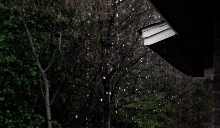
Trade winds have made a comeback in the Hawaiian skies, set to persist through Wednesday. According to the Honolulu Weather Forecast, residents and visitors alike can expect the winds to bring brief showers, primarily targeting the windward and mountainous regions during the nocturnal hours. However, an incoming cold front poised from the northwest suggests a shift to lighter southeasterly breezes, inviting sea breezes between Thursday and Friday.
Early morning satellite imagery caught a glimpse of a dissipating cold front just north of Kauai, noted for pressing cloud remnants toward the western islands, sparking short-lived showers across Kauai and Oahu's windward and mountain areas. In contrast, strung along the wings of the subtropical ridge, the eastern islands are forecasted to stay dry, shrouded under its stabilizing effects. Kilauea Volcano, stirring anew, has erupted around 2:30 AM HST, dusting the Kau District of the Big Island with very light ash carried by the steady east-northeast trade winds, the forecast detailed.
Forecasters are pinpointing a high-pressure system that's been moving eastward, traditionally responsible for maintaining Hawaii's moderate to gusty trade winds. Yet, this system is to transition into the East Pacific, making way for the approaching cold front, which will soften the winds to a more mellow tone by the latter half of the week. Another high following over the weekend promises to revive the trade winds across the region.
The advisory also hints at some weather stability due to a ridge aloft, which promises to inhibit temperature inversion heights for most of the week. Kauai, however, might brace itself for a short spell of enhanced trade wind showers as the remnants of the front play tag with an upper-level trough next weekend. As for those taking to the skies, the breezy trades have returned, with low clouds and showers (SHRA) favoring windward and mauka sections, which could occasionally dip into marginal visual flight rules (MVFR) conditions in heavier showers, but the broad strokes of the aviation weather canvas will be defined by generally good visual flight rules (VFR).
In matters of marine interest, observers should be wary of hazardous conditions sticking around today, with a swell train holding its ground this morning. A High Surf Warning remains in effect for the usual suspects—north and west-facing shores of several islands. As the large waves gradually subside, so too should the alerts, potentially taking us below advisory levels by the middle of the week. A Small Craft Advisory flags an alert for all Hawaiian waters, a biproduct of the robust easterly trades and seas breaching the 10-foot mark in exposed waters. Look for a brief spike in the surf along east-facing shores earlier in the week, with the potential for a dip later on.
The National Weather Service predicts no major fire weather concerns for the coming week, with mostly dry conditions across the island state. While some showers may happen, the weather is expected to remain mostly dry. A High Surf Warning is in effect until 6 PM HST today for several island shores, while a High Surf Advisory is in place for the north and west coasts of the Big Island. Mariners should be aware of the Small Craft Advisory, which will last until 6 PM HST Tuesday.


