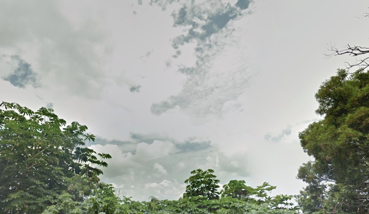
The National Weather Service in Honolulu has updated its weather forecast for the Hawaiian Islands, indicating moderate to breezy trade winds influenced by a high-pressure system to persist today. As reported by the NWS, island residents can expect the winds to veer more easterly to southeasterly and lighten from Wednesday through Friday. The calm is short-lived, a migratory high is expected to bring more moderate to breezy trade winds starting this weekend.
Meanwhile, a shallow cold front accompanied by an upper-level disturbance is forecast to hit the islands, which could enhance trade wind showers, especially over windward and mountainous areas. According to the NWS, "Moderate to breezy trade winds may bring some of these cloud bands and a few showers into the western islands of Kauai and Oahu later today," and while trade winds are set to ease and along with a wind direction shift more light and variable winds are expected to become prevalent across the western half of the state by Wednesday night into Friday. During this period, warmer and more humid conditions could allow for expanded coverage of local sea breezes.
The weather outlook from the NWS also suggests stability in the atmosphere through Friday with low temperature inversion heights, which will keep the weather generally dry. Uncertainty remains post-weekend as an upper-level low may develop near the islands, potentially leading to enhanced shower activity and even brief episodes of ice and snow over the higher elevations of the Big Island's Mauna Kea and Mauna Loa next Monday or Tuesday.
In aviation news, moderate to locally breezy trade winds are anticipated to continue today the National Weather Service says "Moderate to locally breezy trades will continue today, although winds will be a bit lighter than what was seen yesterday," and AIRMET Tango, which warns of moderate turbulence over and around the islands, is expected to see conditions improve later today. Mariners are also being advised of scaled-back Small Craft Advisory in effect till 6 PM HST this evening for certain waters around Oahu and Maui, with wind and sea levels to fall below advisory thresholds tonight.
Fire weather concerns remain minimal with no critical conditions anticipated for the week ahead. Though the second half of the week is looking at weaker winds and a declining northwest swell, the forecast warns of another large, long period northwest swell that could generate high surf along north and west facing shores by late Wednesday.


