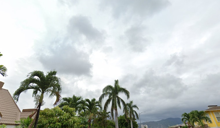
Honolulu residents and visitors should prepare for variable weather conditions throughout the week, as light winds and a cold front approaching from the northwest bring changes across the Hawaiian Islands. According to the National Weather Service (NWS) - Honolulu, a high-pressure system will build north of the state from Sunday night into Tuesday, temporarily reviving trade winds and potentially causing a few showers in windward and mountain areas.
The NWS forecast predicts a shift back to lighter southeasterly winds starting on Christmas Day, with dry conditions prevailing. Meanwhile, a large northwest swell arrived today, bringing potentially hazardous marine conditions that include waves exceeding 40 feet (faces) along the highest exposure coastlines. Mariners are advised to prepare for strong currents and occasional breaking waves near harbor entrances, making transits potentially dangerous, the NWS says. Hazardous conditions are expected to persist into Monday, with a Small Craft Advisory (SCA) in effect due to large sea heights.
Aviation conditions remain mostly favorable with no AIRMETs currently in effect. Surface ridge conditions are leading to light winds across the area, allowing for VFR conditions while making way for potential SHRA and MVFR conds, however, they are expected to be brief. On the fire weather front, no critical conditions are anticipated in the next seven days, with dry humidity levels and lighter wind patterns reducing risks, the NWS confirmed.
The dynamic weather is also affecting surf conditions. A High Surf Warning remains in place until 6 AM HST Monday for several regions including Niihau, Kauai Leeward, Waianae Coast, among others. A High Surf Advisory has also been issued for Big Island East, Big Island North until the same time. While monthly tidal minima may usually reduce coastal impacts, "considerable beach erosion along exposed shorelines and potential overwash onto vulnerable coastal roadways and properties" are likely during the peak today due to the significant swell, NWS reports.
The outlook for the remainder of the week suggests a return to trade winds with a shallow cold front stalling near Kauai by Friday, likely bringing light showers. Aside from a potential uptick in shower activity next weekend due to an upper-level trough/low, most eastern islands should experience relatively dry conditions. As always, the NWS advises that forecasts are subject to change and recommends staying updated on the latest weather developments.


