Residents of Cleveland and surrounding areas should brace for a significant drop in temperatures and potential snowfall, according to the National Weather Service in Cleveland. As the NWS reports, a cold front will make its way across the region today, followed by the development of low pressure over the central Appalachians on Sunday that will move up the East Coast. The area can expect arctic high pressure to build in by early next week.
For today, light rain has already started in western Michigan and Northwest Indiana, stabilizing surface winds after some elevated gusts from the previous evening. With temperatures remaining above freezing this morning, the Cleveland area has seen mostly rain, but there have been reports of some "chunky rain," indicating the possibility of frozen precipitation. As the front moves east today, the rain will transition to snow by mid-to-late afternoon, hinting at potentially treacherous travel conditions as temperatures plunge into the teens tonight.
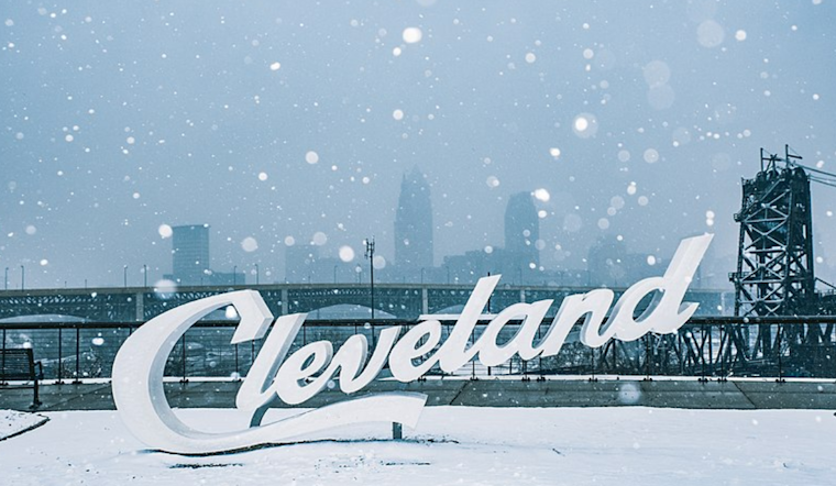
Sunday might bring a deceptive amount of snow, especially near and east of Cleveland. An increase of synoptic moisture in the area could lead to light snowfall across the eastern half of the forecast area, followed by the onset of lake-effect snow in the afternoon, per NWS Cleveland. The snow event is expected to be restrained by a lack of deep atmospheric moisture, accumulating up to an inch in much of Northeast Ohio and Northwest Pennsylvania. However, higher terrain areas might see slightly more.
In the short term, the NWS warns of "the most widespread arctic temperatures in nearly 6 years" that will reach the central and eastern United States. An expansive mid/upper longwave trough digging through the central CONUS Sunday will usher in frigid air from the Hudson Bay region. This pattern is notable for ushering in some of the coldest arctic air outbreaks across northern Ohio and Northwest PA due to offshore flow limiting any mild influences from the warmer waters of Lake Erie. Temperatures are set to drop to the single digits Monday and Tuesday, with Sunday night lows in the 0 to 5 F range and Tuesday night potentially sinking into the minus teens.
Concerning lake-effect snow, a shift in boundary layer flow will likely trigger snow bands that could shift into far Northeast Ohio and Northwest PA before affecting western New York by Monday afternoon. The forecast suggests accumulations in the 2 to 5-inch range across the primary snowbelt east of Cleveland, with Erie County, PA, potentially receiving 4 to 7 inches. This could result in an advisory event, with the chance of higher totals before the band shifts offshore.
As the Arctic airmass relents, the NWS anticipates a recovery in temperatures mid-week, with highs gradually climbing from the teens to the upper 20s by Friday. This easing of the cold snap comes as the mid/upper trough moves east and high pressure builds, suggesting a moderate transition for the region after extreme cold.


.jpg)