Residents in the Denver area and across northeast and north central Colorado should brace for strong winds and snowy conditions in the mountains starting tonight through the weekend. As reported by the National Weather Service, the forecaster warns of possible hazardous weather conditions with gusts reaching from 40 to 60 mph in the foothills and up to 75 mph in high mountain areas. Spotters, however, are not likely to be activated today or tonight according to the outlook.
The weather shift is scheduled to bring accumulations of snow, particularly near the Wyoming border, where 1 to 3 inches may blanket the region by Saturday morning. Light to moderate snow, along with the whipping winds, are expected to create challenging driving conditions in the mountainous terrain over the weekend. The plains could get a glimpse of this, with a chance of light snow predicted for Saturday that will leave minimal to no accumulation on the streets and open spaces of the Front Range’s eastern thresholds.
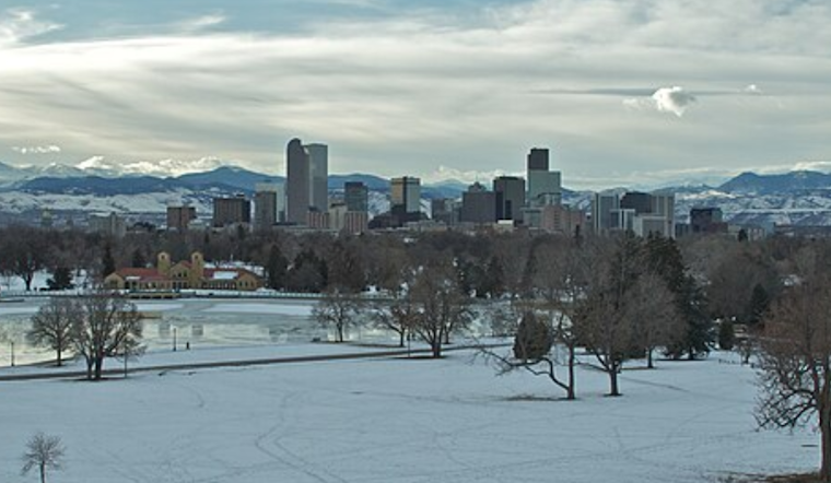
The National Weather Service's detailed forecast indicates a sunny outlook for residents in the Denver metro area today, with a high expected near 43 degrees and a gentle southwest wind around 7 mph. Temperatures tonight are predicted to slightly dip, with a low of around 24 degrees and continued southwest winds at 5 to 9 mph.
Looking ahead, after the mountain snowfall, conditions are expected to dry out next week across the forecast area. This spells a string of sunny days and clear nights, with temperatures gently rising from the mid-30s at the beginning of the week, to higher marks approaching the mid-50s by Thursday. So while the cold and gusts may grip the Colorado high country through the weekend, a figurative exhale and a literal warming trend is on the horizon for Denverites and their neighbors beneath the vast, western sky.


