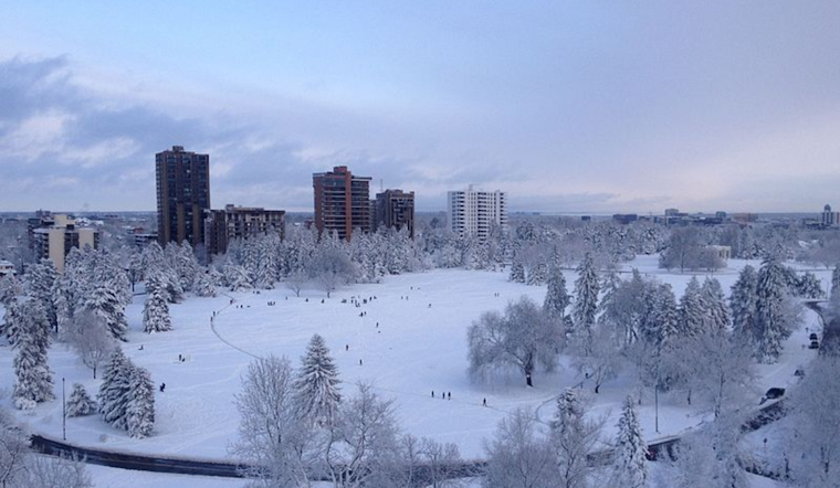
The Mile-High City is preparing for an upcoming cold snap and snow, which will bring significant changes to the region's weather patterns. According to the National Weather Service, Denver is currently experiencing temperatures around 19°F with clear skies, setting the stage for what's to come later in the week.
While the immediate forecast suggests mild conditions with sunny skies and highs nearing 48°F, the situation is set to take a drastic turn come the weekend. An arctic air mass is expected to move into Colorado starting Saturday, potentially plummeting lows to -10 to -20 F across the I-25 corridor and eastern plains. The mercury's downfall, along with breezy conditions, could lead to wind chill values as biting as -30 F, especially by Monday night.
The NWS has also issued a Hazardous Weather Outlook for northeastern and north central Colorado, warning residents of the bitter temperatures and accompanying snowfall. Friday night is set to mark the beginning of this winter event, with snow likely continuing into Saturday. The Front Range Foothills may witness the heaviest snow accumulations, as the region braces for what could be a challenging several days.
Looking ahead, another round of light snow is possible on Sunday and Sunday night, adding to the weekend's accumulation. Residents are advised to prepare for the harsh conditions, as the outlook till Tuesday indicates a continuation, of the bitter cold. Activities and travel plans might be subject to change or cancellation due to the weather, and residents are recommended to stay informed on any updates to the forecast.
No spotter activation is necessary today or tonight but locals should stay vigilant as the weather develops. The NWS Denver/Boulder is monitoring the situation closely and will provide updates as more information becomes available. Denverites are encouraged to take the Hazardous Weather Outlook seriously and take appropriate actions to stay safe and warm during this winter onslaught.


