Denver residents can expect to see a few flurries across the city with a slight chance of snow showers forecasted for this afternoon by the National Weather Service. Temperatures are predicted to rise close to 43 degrees by midday before dipping into the 30s as the day progresses, with winds potentially gusting up to 17 mph. Chilly conditions persist into the evening, with tonight's low hovering around 16 degrees.
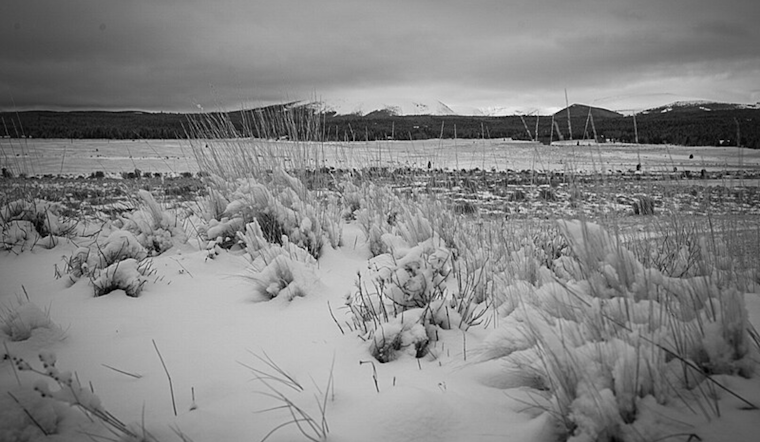
Looking towards the mountains, the NWS has issued a hazardous weather outlook for parts of northeast and north-central Colorado. Snow accumulation could reach up to 6 inches in areas above 9,000 feet, especially those north of Berthoud Pass. Driving conditions may be difficult due to the accumulating snow and wind gusts set to pick up at 30 to 40 mph, although they should lessen by late afternoon. According to the National Weather Service, the plain regions are unlikely to see significant snowfall.
The upcoming week is looking to bring more snowfall to the mountain regions on Sunday and again on Monday afternoon. Though no noteworthy accumulations are anticipated at this time, the situation could change as snow returns to the high elevations by the end of the week, with potential continuance into the following weekend; slight snowfall is also anticipated, making for a consistent wintry theme across the Colorado highlands.


