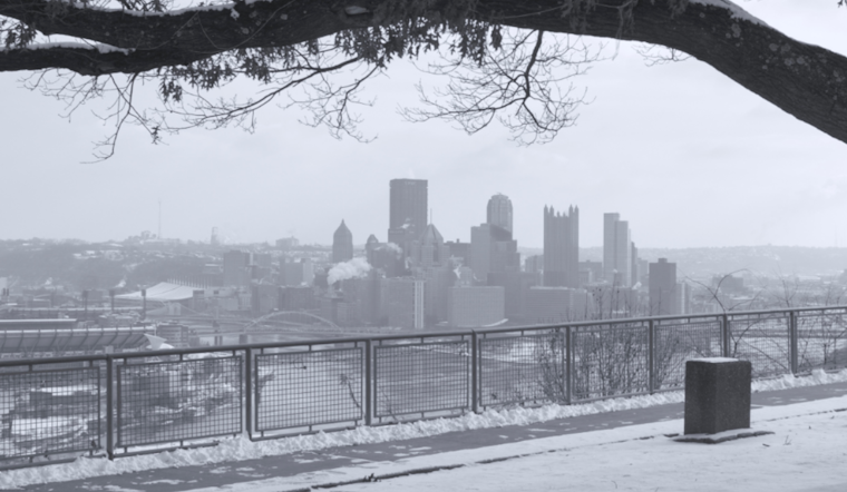
Pittsburgh residents are reaching for their shovels and bundling up as the National Weather Service has forecasted widespread snow, transitioning to scattered snow showers, with the cold wave continuing into the week. According to the National Weather Service Pittsburgh, PA, the snow will gradually decrease to intermittent showers throughout this morning following the passage of a cold front, allowing Pittsburghers a brief respite.
Though the snow showers should dissipate by tonight, the city isn't quite out of the woods, and dry conditions are expected to return Sunday. However, another blast of frigid air on Monday will see the snowflakes making a comeback – the boundary layer flow will shift tonight, permitting the high pressure to build and setting the stage for at least a day of clearer skies. Those eager for warmer temperatures will have to wait, as the highs on Monday might just graze the freezing mark in some areas, despite the currently limited moisture in the dendritic growth zone or the fact that temperatures remain noticeably below the norm throughout the entire period.
Diving into the extended forecast, the National Weather Service adds that we're looking at "very cold temperatures by midweek" and "periodic scattered snow showers through much of the week." A long wave trough settling over the Eastern U.S. means the chill isn't lifting any time soon, with 850 mb temperatures sliding down to a bracing -18 to -20 degrees C by Tuesday, driving daytime highs possibly down to the mid-teens and leaving us with overnight lows in the single digits. The conditions promise little reprieve as wind chills hovering around zero to negative five degrees, making for a biting mid-January.
In terms of aviation impacts, the consistent light snow that has been observed is expected to shift east as the day progresses, with cigs and visibility improving some in the wake behind the trough axis according to the forecast, with a 90 percent probability of MVFR cigs and a 10 to 30 percent chance of IFR cigs, particularly for FKL and DUJ; following the sunset these chances taper down with snow showers receding, yet low clouds and MVFR restrictions may linger into the night due to trapped moisture. Sunday's outlook is brighter, with most ports likely regaining VFR status by midday. The next set of restrictions is anticipated Monday with the approach of another cold front introducing fresh snow showers and a high likelihood of at least MVFR conditions.
For those living in the zones currently under a Winter Weather Advisory—including parts of Pennsylvania, Ohio, and West Virginia—the advisory remains in effect until 1 AM EST Sunday, an advisory you can keep track of here as shared by the National Weather Service Pittsburgh.


.jpg)